Anavatos
Ανάβατος
Chios, Greece · 38°25′60″N 25°58′60″E
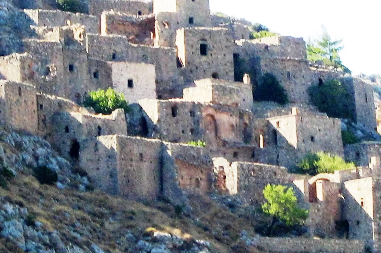
A deserted Byzantine village stacked on a cliff in the hills of Chios, emptied after the 1822 massacre and never resettled, its stone houses now indistinguishable from the rock.
Anavatos was built as a refuge in the middle Byzantine period, on a crag with a single approach, and its grey stone houses climb the slope in tiers so that one roof is the next house's courtyard. During the Ottoman massacre of Chios in 1822 the villagers who could not flee were killed or leapt from the cliff. A few families returned but the village was empty by the 1950s.
One small church and the paths have been stabilised; the rest is left to the wind.
Why it stays quiet
Chios is not a package-holiday island, and Anavatos is inland and signposted only from the nearby village of Avgonyma. A handful of visitors a day in spring.
Where it is
Before you go
The upper part of the village is fenced for safety after rockfalls; respect the barriers. No shade; go in the morning. Combine with the mastic villages of the south.
Updated 2026-09-06 · Suggest a correction
More like this
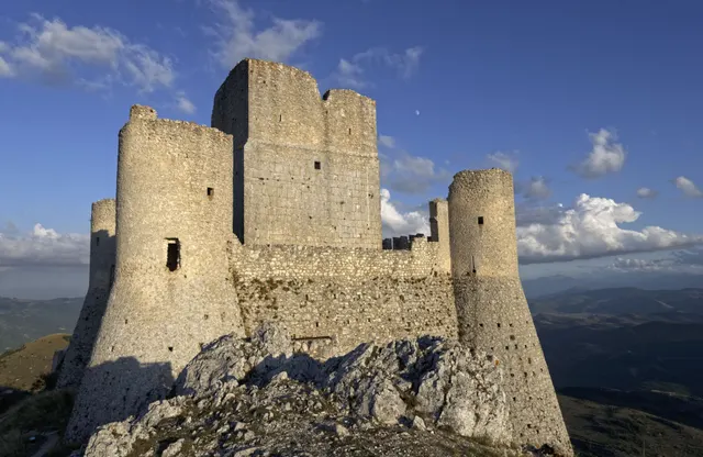
Rocca Calascio
One of the highest fortresses in the Apennines: a roofless 10th-century watchtower and ring walls on a bare limestone ridge at 1,460 m, free and open day and night.
- Coordinates
- 42°19′42″N 13°41′54″E
- Crowds
- Quiet
- Landscape
- Plateau & highland
- Best season
- Best in Summer
Sijilmasa
The mud-brick remains of the medieval trade capital that funnelled Saharan gold to the Mediterranean, now a field of eroded walls outside Rissani that nobody guards.
- Coordinates
- 31°16′60″N 4°16′60″W
- Crowds
- Usually empty
- Landscape
- Desert
- Best season
- Best in Winter
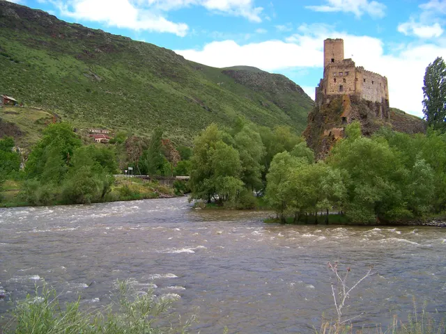
Khertvisi Fortress
One of the oldest fortresses in Georgia, a 10th-century keep on a rock at the meeting of two rivers, walked past by everyone on their way to Vardzia and entered by almost no one.
- Coordinates
- 41°28′59″N 43°17′13″E
- Crowds
- Quiet
- Landscape
- Gorge & canyon
- Best season
- Best in Summer