Skip to content
Hidden Earth Atlas

Geomorphic & geological oddities

Rare natural formations: basalt columns, sinkholes, painted deserts, hidden gorges. 17 so far.

More filters
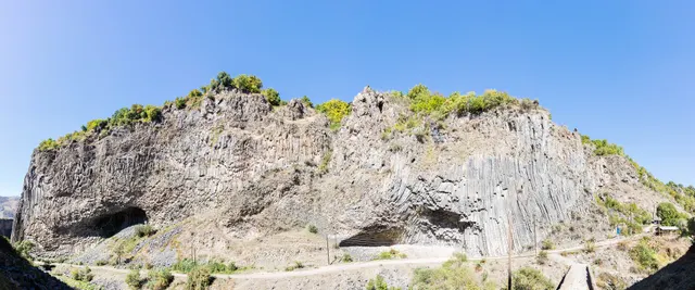
Curved hexagonal basalt columns of the Symphony of the Stones in Garni Gorge, Armenia
Geological oddities Armenia · Kotayk Province

Symphony of the Stones

A cliff of hexagonal basalt columns hanging over the Azat River, curved like organ pipes, a short scramble below one of Armenia's most visited temples.

Coordinates
40°07′10″N 44°43′21″E
Crowds
Quiet
Landscape
Gorge & canyon
Best season
Best in Shoulder
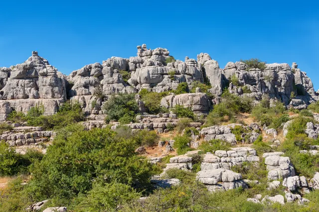
El Torcal de Antequera, Historic site
Geological oddities Spain · Málaga Province

El Torcal de Antequera

A limestone plateau eroded into a stone city of stacked discs and mushroom pillars, an hour from the Costa del Sol and seen by almost none of its visitors.

Coordinates
36°57′15″N 4°32′40″W
Crowds
Some visitors
Landscape
Karst & cave
Best season
Best in Spring
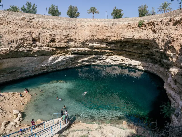
Turquoise water of the Bimmah Sinkhole seen from the rim
Geological oddities Oman · Muscat Governorate

Bimmah Sinkhole

A limestone sinkhole 600 m from the sea, filled with turquoise water where fresh and salt water meet, with steps down from a free municipal park.

Coordinates
23°02′10″N 59°04′16″E
Crowds
Some visitors
Landscape
Coast
Best season
Best in Winter
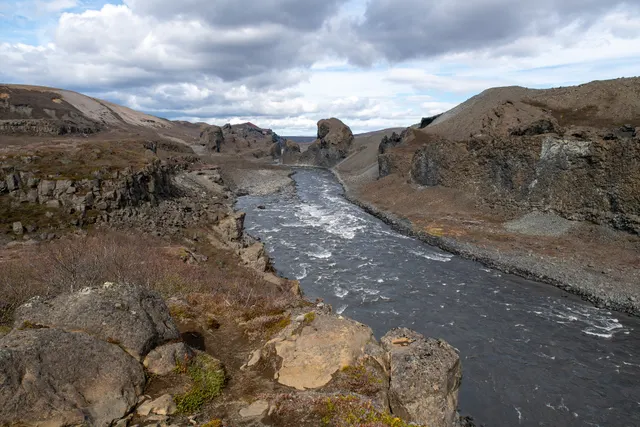
Basalt formations of Hljóðaklettar beside the Jökulsá á Fjöllum river
Geological oddities Iceland · Northeastern Region

Hljóðaklettar

Twisted columnar basalt formations, the roots of old volcanic craters, scattered along the Jökulsá canyon, where the wind and river echo off the rock.

Coordinates
66°01′30″N 16°30′25″W
Crowds
Quiet
Landscape
Volcanic
Best season
Best in Summer
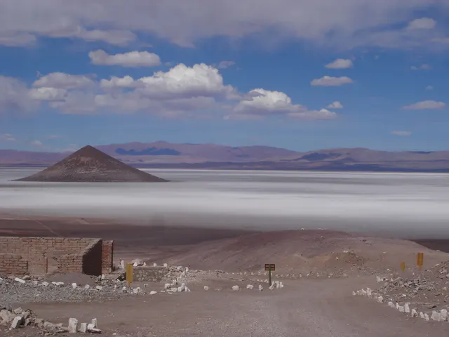
Salar de Arizaro, Salt flat in north-western Argentina
Geological oddities Argentina · Salta Province

Cono de Arita

A near-perfect natural cone rising 120 m from the white floor of the Arizaro salt flat in the high Puna, so symmetrical it looks built.

Coordinates
25°02′42″S 67°45′00″W
Crowds
Usually empty
Landscape
Desert
Best season
Best in Shoulder
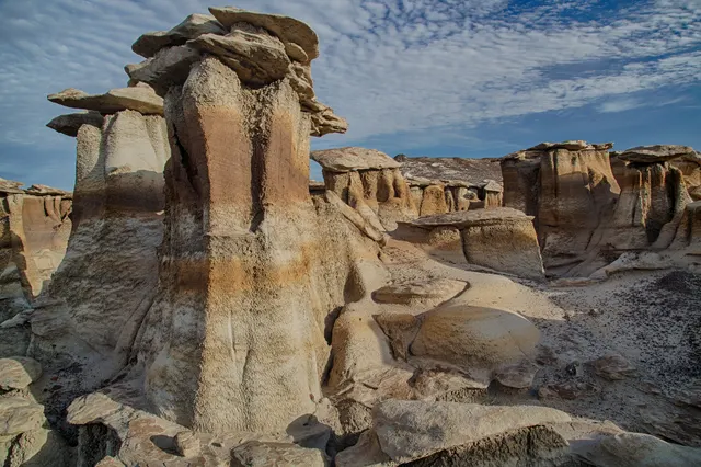
Bisti/De-Na-Zin Wilderness, Wilderness in New Mexico, United States
Geological oddities United States · New Mexico

Bisti/De-Na-Zin Wilderness

A badlands of hoodoos, petrified logs and mushroom-capped rock in shale the colour of ash, with no trails and no signs.

Coordinates
36°15′36″N 108°15′00″W
Crowds
Usually empty
Landscape
Desert
Best season
Best in Shoulder
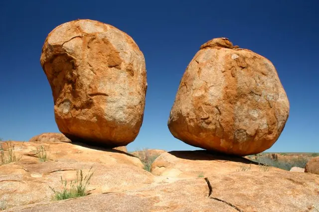
Karlu Karlu / Devils Marbles Conservation Reserve, Protected area in the Northern Territory, Australia
Geological oddities Australia · Northern Territory

Karlu Karlu (Devils Marbles)

Hundreds of rounded granite boulders, some balanced improbably on others, scattered across a shallow valley in the middle of the Northern Territory.

Coordinates
20°34′26″S 134°15′40″E
Crowds
Quiet
Landscape
Steppe & grassland
Best season
Best in Winter
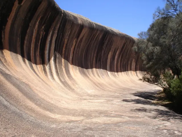
Wave Rock, Rock formation in Western Australia
Geological oddities Australia · Western Australia

Wave Rock

A 15 m granite wave frozen mid-break in the Western Australian wheatbelt, streaked in rust and grey, on the flank of a rock older than most continents.

Coordinates
32°26′37″S 118°53′51″E
Crowds
Quiet
Landscape
Steppe & grassland
Best season
Best in Spring
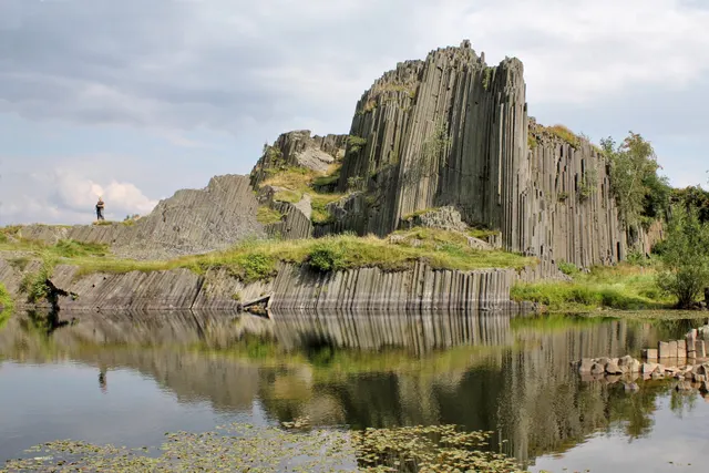
Panská skála, Rock formation in Czechia
Geological oddities Czechia · Ústí nad Labem Region

Panská skála

A basalt "organ" of up to 12 m columns exposed by an old quarry in northern Bohemia, the oldest protected geological site in the country.

Coordinates
50°47′10″N 14°28′12″E
Crowds
Quiet
Landscape
Forest
Best season
Best in Year round
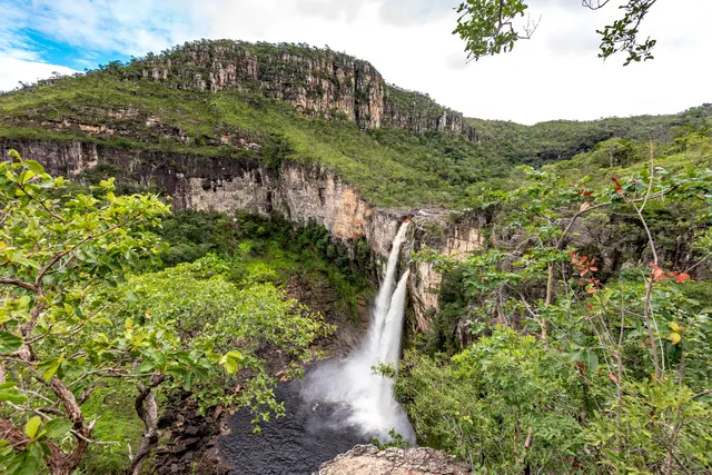
Chapada dos Veadeiros National Park, UNESCO World Heritage Site in Goiás, Brazil
Geological oddities Brazil · Goiás

Vale da Lua

A stretch of the São Miguel river where grey quartzite has been polished into craters, pools and lunar curves.

Coordinates
14°10′30″S 47°47′46″W
Crowds
Some visitors
Landscape
River valley
Best season
Best in Winter
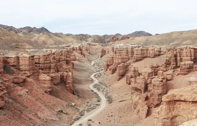
Charyn Canyon, Canyon in Kazakhstan
Geological oddities Kazakhstan · Almaty Region

Charyn Canyon

A 90 km canyon in the steppe east of Almaty, whose Valley of Castles is a corridor of red sandstone towers eroded into turrets and arches.

Coordinates
43°21′11″N 79°04′52″E
Crowds
Some visitors
Landscape
Desert
Best season
Best in Shoulder
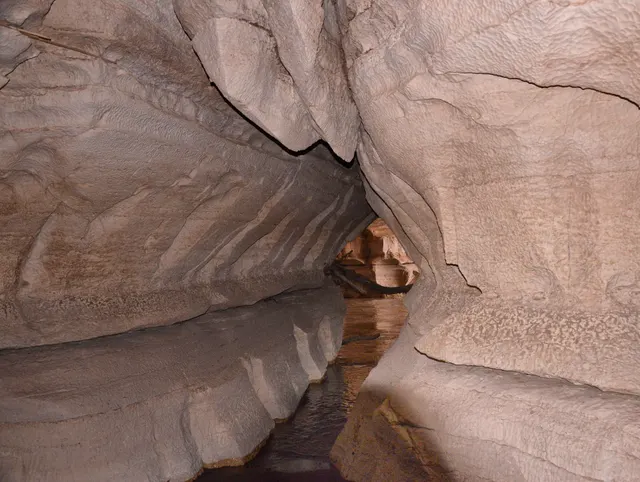
Sof Omar Caves, Longest cave in Ethiopia
Geological oddities Ethiopia · Oromia Region

Sof Omar Caves

One of the longest cave systems in Africa, where the Weyb river disappears into limestone and emerges 1.5 km later through a hall of columns, and a Muslim pilgrimage site for centuries.

Coordinates
6°54′24″N 40°50′48″E
Crowds
Usually empty
Landscape
Karst & cave
Best season
Best in Winter