Kalinjar Fort
कालिंजर दुर्ग
Uttar Pradesh, India · 24°59′56″N 80°29′10″E
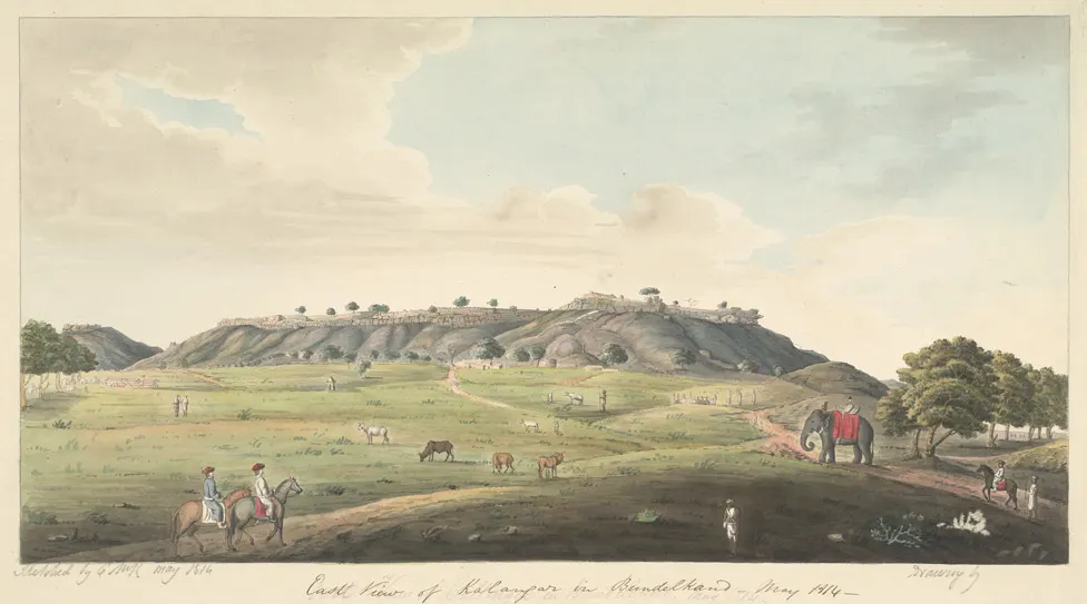
A vast Chandela-era hill fort on a flat-topped outcrop of the Vindhya range, with seven gates, a colossal rock-cut Shiva and a temple to the god who drank poison here.
Kalinjar is one of the oldest fortified sites in India, mentioned in the Mahabharata and held by the Chandelas, Mughals and British in turn. The plateau top is 1 km across and enclosed by walls; inside are the Neelkanth temple carved into the cliff, an 18-foot Bhairava relief, rock-cut reservoirs and the palace of Raja Aman Singh, all in various stages of collapse.
Sher Shah Suri was killed by an exploding gunpowder store during his siege in 1545.
Why it stays quiet
It is 100 km from Khajuraho in a district few foreign visitors enter. Indian pilgrims come to Neelkanth on Mondays and at Shivratri; otherwise the plateau is empty apart from goats.
Where it is
Before you go
Hire a local guide at the gate; the site is confusing. Carry water; there is little on top. Best in the cool season.
Updated 2026-09-06 · Suggest a correction
More like this
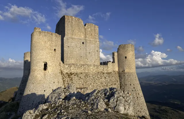
Rocca Calascio
One of the highest fortresses in the Apennines: a roofless 10th-century watchtower and ring walls on a bare limestone ridge at 1,460 m, free and open day and night.
- Coordinates
- 42°19′42″N 13°41′54″E
- Crowds
- Quiet
- Landscape
- Plateau & highland
- Best season
- Best in Summer
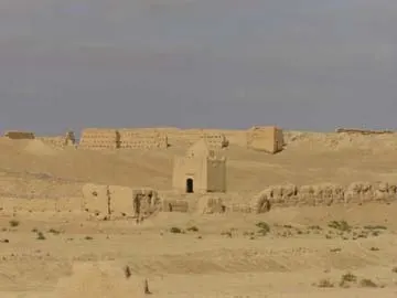
Sijilmasa
The mud-brick remains of the medieval trade capital that funnelled Saharan gold to the Mediterranean, now a field of eroded walls outside Rissani that nobody guards.
- Coordinates
- 31°16′60″N 4°16′60″W
- Crowds
- Usually empty
- Landscape
- Desert
- Best season
- Best in Winter
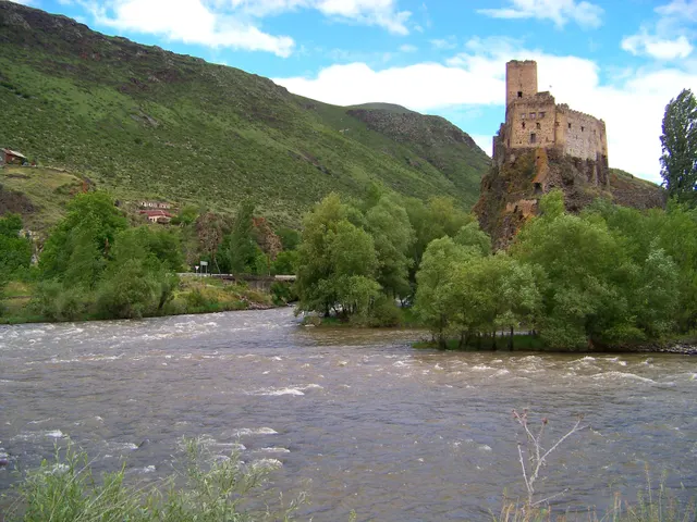
Khertvisi Fortress
One of the oldest fortresses in Georgia, a 10th-century keep on a rock at the meeting of two rivers, walked past by everyone on their way to Vardzia and entered by almost no one.
- Coordinates
- 41°28′59″N 43°17′13″E
- Crowds
- Quiet
- Landscape
- Gorge & canyon
- Best season
- Best in Summer