Ruapekapeka Pā
Ruapekapeka
Northland, New Zealand · 35°25′60″S 174°11′60″E
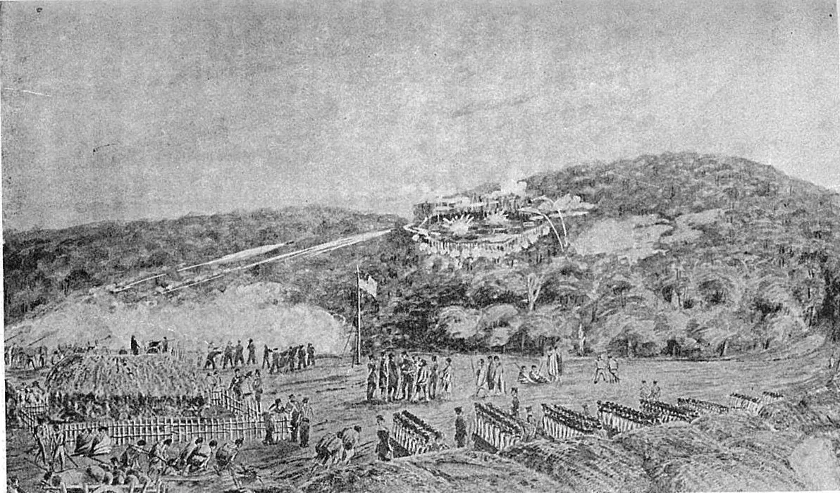
The earthworks of the Māori fortress that ended the Northern War in 1846, a hilltop of trenches, rifle pits and palisade lines whose design anticipated trench warfare by seventy years.
Ruapekapeka, "the bats' nest", was built by Te Ruki Kawiti in 1845 specifically to withstand British artillery. It used flax-padded double palisades, underground bunkers and a trench system that let the defenders move unseen; when the British finally entered after ten days of bombardment they found it largely empty. The ditches, pits and bunker outlines are still clear on the hilltop, alongside a British cannon.
The site is jointly managed by Ngāti Hine and the Department of Conservation.
Why it stays quiet
It is off the tourist route between the Bay of Islands and Whangārei and has no facilities. Most days no one visits.
Where it is
Before you go
Free; open all hours. Interpretive panels on site. The track from the car park is 15 minutes and can be muddy.
Updated 2026-09-06 · Suggest a correction
More like this
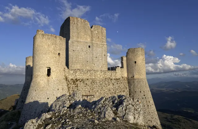
Rocca Calascio
One of the highest fortresses in the Apennines: a roofless 10th-century watchtower and ring walls on a bare limestone ridge at 1,460 m, free and open day and night.
- Coordinates
- 42°19′42″N 13°41′54″E
- Crowds
- Quiet
- Landscape
- Plateau & highland
- Best season
- Best in Summer
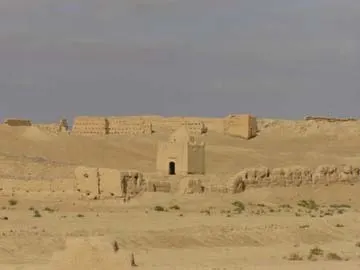
Sijilmasa
The mud-brick remains of the medieval trade capital that funnelled Saharan gold to the Mediterranean, now a field of eroded walls outside Rissani that nobody guards.
- Coordinates
- 31°16′60″N 4°16′60″W
- Crowds
- Usually empty
- Landscape
- Desert
- Best season
- Best in Winter
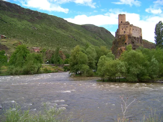
Khertvisi Fortress
One of the oldest fortresses in Georgia, a 10th-century keep on a rock at the meeting of two rivers, walked past by everyone on their way to Vardzia and entered by almost no one.
- Coordinates
- 41°28′59″N 43°17′13″E
- Crowds
- Quiet
- Landscape
- Gorge & canyon
- Best season
- Best in Summer