Ruinas de Ujarrás
Cartago Province, Costa Rica · 9°49′48″N 83°50′60″W
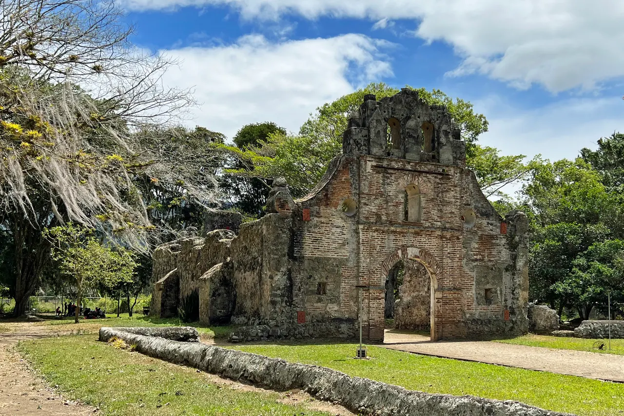
The stone shell of Costa Rica's oldest church, built in the 1690s and abandoned after floods in 1833, standing in a lawn of coffee bushes above the Cachí reservoir.
The church of Nuestra Señora de la Limpia Concepción was built by Spanish settlers and Huetar labour between 1686 and 1693 in a mix of stone and lime, one of the only colonial buildings in the country. Floods and epidemics drove the village to relocate in 1833, and the church was left. Its façade, walls and window arches stand in a maintained park; the roof and interior are gone.
The Orosi valley loop, with the 1743 church at Orosi and the Cachí dam, makes a good day from Cartago.
Why it stays quiet
Costa Rica's visitors come for volcanoes, cloud forest and beaches; colonial ruins are not on the list. Locals picnic here on Sundays; weekdays are quiet.
Where it is
Before you go
Free entry, open daily. Small café on the road. Combine with Lankester botanical garden.
Updated 2026-09-06 · Suggest a correction
More like this
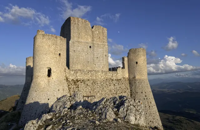
Rocca Calascio
One of the highest fortresses in the Apennines: a roofless 10th-century watchtower and ring walls on a bare limestone ridge at 1,460 m, free and open day and night.
- Coordinates
- 42°19′42″N 13°41′54″E
- Crowds
- Quiet
- Landscape
- Plateau & highland
- Best season
- Best in Summer
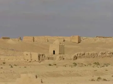
Sijilmasa
The mud-brick remains of the medieval trade capital that funnelled Saharan gold to the Mediterranean, now a field of eroded walls outside Rissani that nobody guards.
- Coordinates
- 31°16′60″N 4°16′60″W
- Crowds
- Usually empty
- Landscape
- Desert
- Best season
- Best in Winter
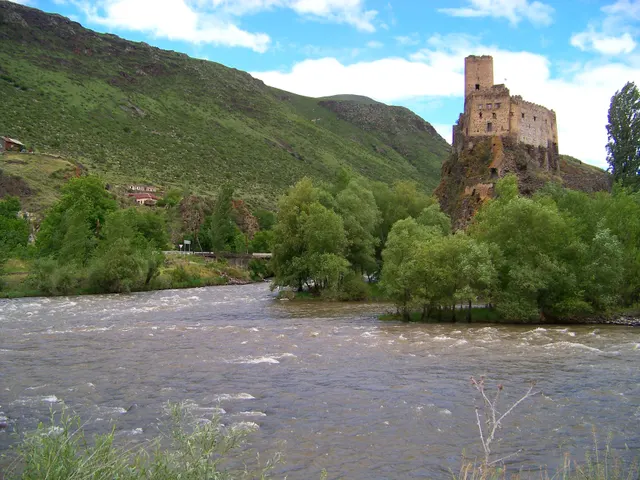
Khertvisi Fortress
One of the oldest fortresses in Georgia, a 10th-century keep on a rock at the meeting of two rivers, walked past by everyone on their way to Vardzia and entered by almost no one.
- Coordinates
- 41°28′59″N 43°17′13″E
- Crowds
- Quiet
- Landscape
- Gorge & canyon
- Best season
- Best in Summer