Karlu Karlu (Devils Marbles)
Karlu Karlu
Northern Territory, Australia · 20°34′26″S 134°15′40″E
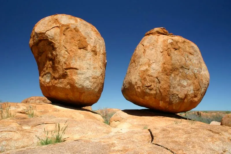
Hundreds of rounded granite boulders, some balanced improbably on others, scattered across a shallow valley in the middle of the Northern Territory.
Karlu Karlu is a field of granite tors formed by spheroidal weathering: a 1.7-billion-year-old granite mass cracked into blocks, and water rounded the corners of each block underground before erosion exposed them. The result is boulders up to 6 m across, split cleanly in half or perched on pedestals. At sunrise and sunset the rock goes deep orange.
The site is sacred to the Warumungu, Kaytetye, Alyawarra and Warlpiri peoples; the name means "round boulders".
Why it stays quiet
It is 400 km from Alice Springs and 1,000 km from Darwin, on a highway most tourists drive straight through. Campers stop for a night; day visitors are rare.
Where it is
Before you go
Basic campground on site (fee). Short walks are signposted. Do not climb the marked sacred boulders.
Updated 2026-09-06 · Suggest a correction
More like this
Wave Rock
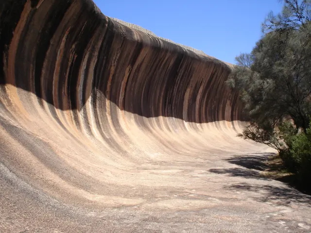
A 15 m granite wave frozen mid-break in the Western Australian wheatbelt, streaked in rust and grey, on the flank of a rock older than most continents.
- Coordinates
- 32°26′37″S 118°53′51″E
- Crowds
- Quiet
- Landscape
- Steppe & grassland
- Best season
- Best in Spring
Symphony of the Stones
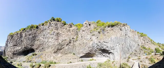
A cliff of hexagonal basalt columns hanging over the Azat River, curved like organ pipes, a short scramble below one of Armenia's most visited temples.
- Coordinates
- 40°07′10″N 44°43′21″E
- Crowds
- Quiet
- Landscape
- Gorge & canyon
- Best season
- Best in Shoulder
El Torcal de Antequera
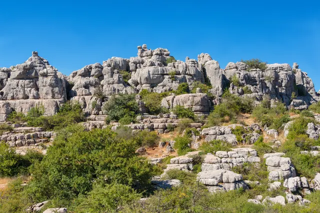
A limestone plateau eroded into a stone city of stacked discs and mushroom pillars, an hour from the Costa del Sol and seen by almost none of its visitors.
- Coordinates
- 36°57′15″N 4°32′40″W
- Crowds
- Some visitors
- Landscape
- Karst & cave
- Best season
- Best in Spring