El Torcal de Antequera
Málaga Province, Spain · 36°57′15″N 4°32′40″W
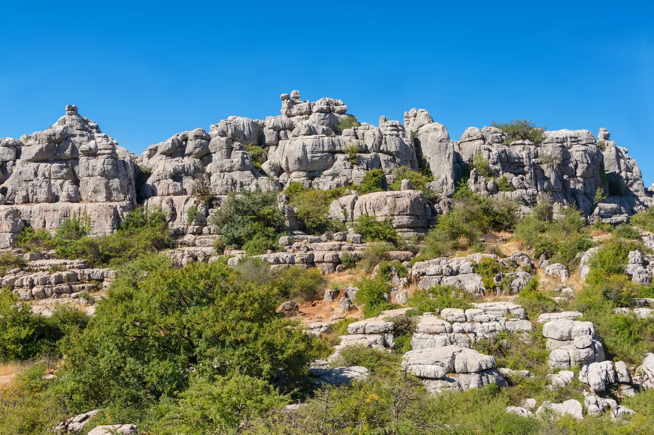
A limestone plateau eroded into a stone city of stacked discs and mushroom pillars, an hour from the Costa del Sol and seen by almost none of its visitors.
The Torcal was a seabed 150 million years ago. Uplift, fracturing and rain have dissolved the limestone along its bedding planes and joints into a maze of stacked rock towers, sinkholes and corridors. Three marked loops of 1.5 to 4.5 km wind through it; the Tornillo, a screw-shaped pillar, is the emblem. Ibex are common and there are fossils in the path.
The visitor centre on the ridge has a viewpoint over the Guadalhorce valley to the sea.
Why it stays quiet
Coastal tourists rarely drive inland. Spanish families come on spring weekends; on a weekday the loops are quiet.
Where it is
Before you go
Free entry; parking at the top fills on weekends, when a shuttle runs from below. Fog is common; the yellow route is easy to lose in cloud. No water on the trails.
Updated 2026-09-06 · Suggest a correction
Within 400 km
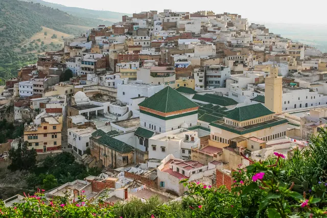
Moulay Idriss Zerhoun
A white hill-town wrapped around two hills above the Roman ruins of Volubilis, holy to Moroccans and almost unvisited by everyone else.
- Coordinates
- 34°03′19″N 5°31′16″W
- Crowds
- Quiet
- Landscape
- Mountain
- Best season
- Best in Spring
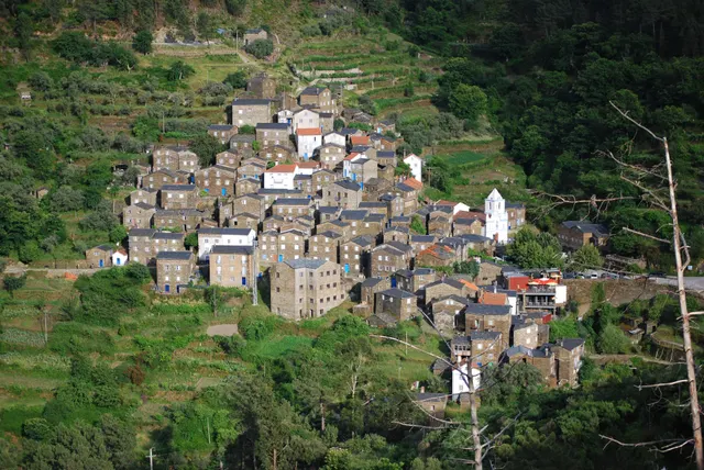
Piódão
A schist village stacked like an amphitheatre into the Serra do Açor, where slate-black houses with blue-painted doors face a single white church.
- Coordinates
- 40°13′47″N 7°49′31″W
- Crowds
- Quiet
- Landscape
- Mountain
- Best season
- Best in Autumn