Moulay Idriss Zerhoun
مولاي إدريس زرهون
Fès-Meknès, Morocco · 34°03′19″N 5°31′16″W
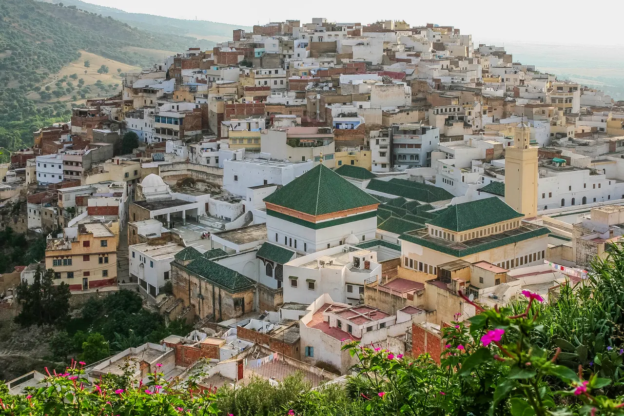
A white hill-town wrapped around two hills above the Roman ruins of Volubilis, holy to Moroccans and almost unvisited by everyone else.
Moulay Idriss is where Idris I, founder of the first Moroccan dynasty, is buried; his mausoleum sits at the saddle between the two hills and the town spills down both slopes in whitewashed terraces. Non-Muslims cannot enter the shrine, but the lanes, the cylindrical minaret (the only one in Morocco) and the two terraces with views over the Zerhoun olive groves are all open.
The town was closed to non-Muslim overnight stays until 2005, which is why it never developed the guesthouse economy of Fès or Chefchaouen. Most visitors see it from the Volubilis car park and never climb up.
Why it stays quiet
Tour groups do Volubilis and leave. The town itself has a handful of guesthouses and no souvenir trade to speak of; the lanes are residential and quiet by mid-afternoon.
Where it is
Before you go
Thursday and Saturday are market days. The August moussem fills the town; avoid it unless that is what you came for. Dress modestly.
Updated 2026-09-06 · Suggest a correction
Within 400 km
Sijilmasa
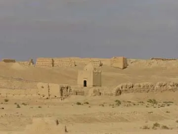
The mud-brick remains of the medieval trade capital that funnelled Saharan gold to the Mediterranean, now a field of eroded walls outside Rissani that nobody guards.
- Coordinates
- 31°16′60″N 4°16′60″W
- Crowds
- Usually empty
- Landscape
- Desert
- Best season
- Best in Winter
El Torcal de Antequera
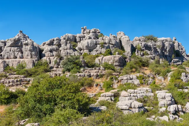
A limestone plateau eroded into a stone city of stacked discs and mushroom pillars, an hour from the Costa del Sol and seen by almost none of its visitors.
- Coordinates
- 36°57′15″N 4°32′40″W
- Crowds
- Some visitors
- Landscape
- Karst & cave
- Best season
- Best in Spring