Rhyolite
Nevada, United States · 36°54′11″N 116°49′41″W
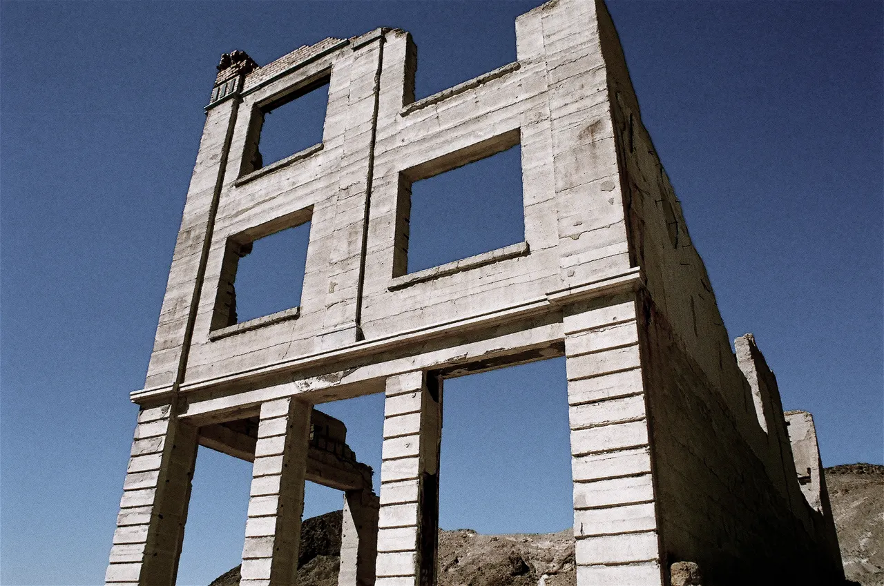
The concrete skeletons of a 1905 gold-rush city at the edge of Death Valley: a three-storey bank, a railway depot and a house built of bottles.
Rhyolite went from nothing to 5,000 people in three years after gold was found in 1904, and was empty by 1920. Because the boom was rich and short, the town built in reinforced concrete, and the shells survived: the Cook Bank building, the jail, the school and the Las Vegas & Tonopah railway depot. The Bottle House, built from 50,000 beer bottles, is the one complete structure.
It is on federal land, unfenced and free, with an open-air sculpture park at the entrance.
Why it stays quiet
Death Valley's visitors are 20 km away on the other side of the state line. Rhyolite gets a few cars an hour on winter weekends and almost none in summer heat.
Where it is
Before you go
Summer temperatures exceed 45 °C; visit November to March. No water or shade. Do not enter unstable buildings.
Updated 2026-09-06 · Suggest a correction
More like this
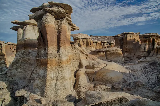
Bisti/De-Na-Zin Wilderness
A badlands of hoodoos, petrified logs and mushroom-capped rock in shale the colour of ash, with no trails and no signs.
- Coordinates
- 36°15′36″N 108°15′00″W
- Crowds
- Usually empty
- Landscape
- Desert
- Best season
- Best in Shoulder
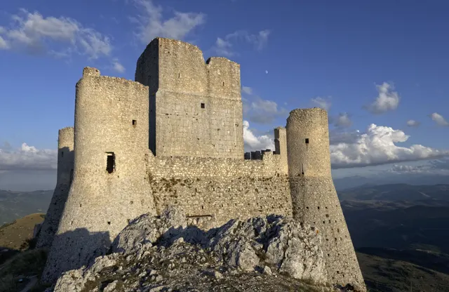
Rocca Calascio
One of the highest fortresses in the Apennines: a roofless 10th-century watchtower and ring walls on a bare limestone ridge at 1,460 m, free and open day and night.
- Coordinates
- 42°19′42″N 13°41′54″E
- Crowds
- Quiet
- Landscape
- Plateau & highland
- Best season
- Best in Summer
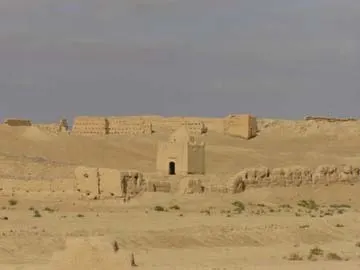
Sijilmasa
The mud-brick remains of the medieval trade capital that funnelled Saharan gold to the Mediterranean, now a field of eroded walls outside Rissani that nobody guards.
- Coordinates
- 31°16′60″N 4°16′60″W
- Crowds
- Usually empty
- Landscape
- Desert
- Best season
- Best in Winter