Bisti/De-Na-Zin Wilderness
Bisti/De-Na-Zin
New Mexico, United States · 36°15′36″N 108°15′00″W
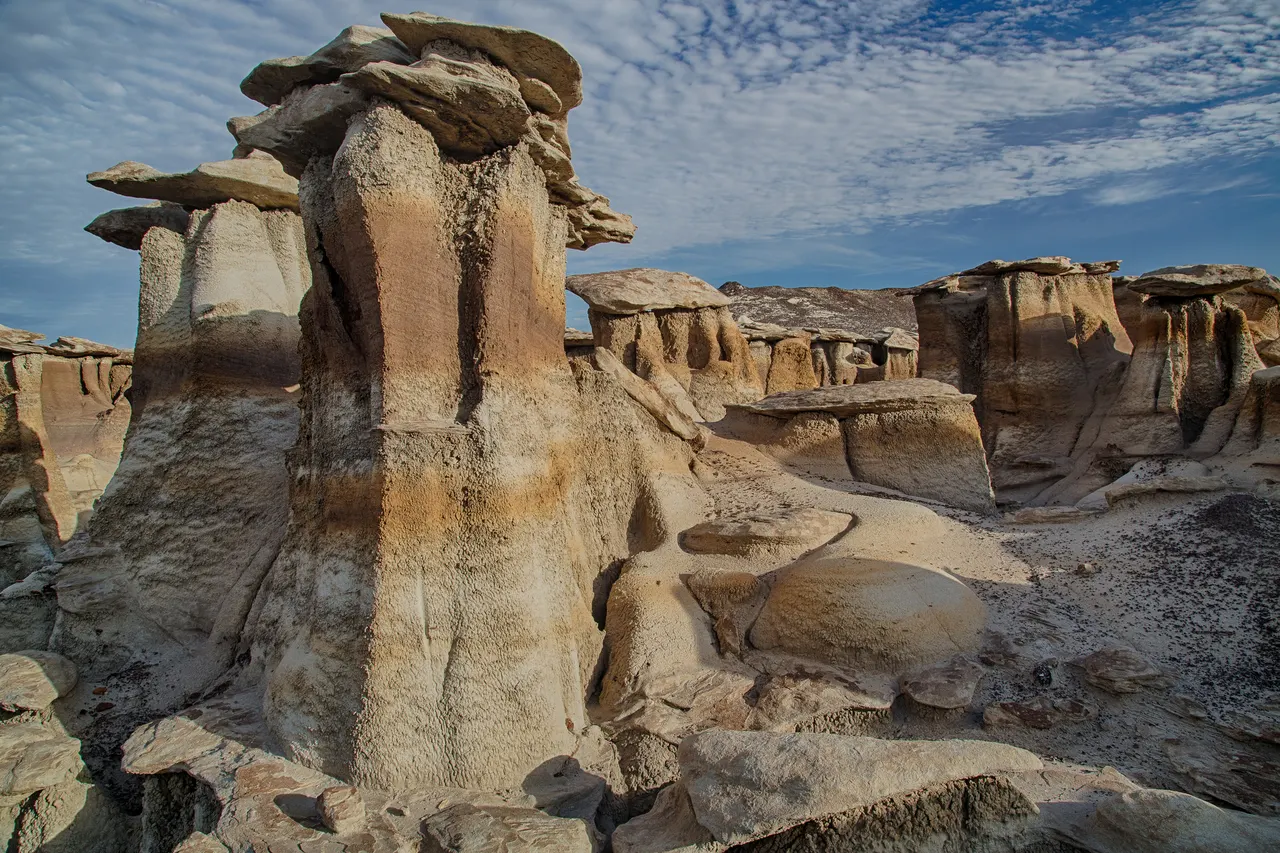
A badlands of hoodoos, petrified logs and mushroom-capped rock in shale the colour of ash, with no trails and no signs.
The Bisti (from a Navajo word for badlands) exposes 70-million-year-old coastal swamp deposits, now eroded into hoodoos, "cracked eggs" of sandstone, bands of red clinker and grey shale. Petrified tree trunks lie on the surface. There are no marked trails; you navigate by GPS and by landmarks that all look alike.
The best formations (the Egg Garden, the Alien Throne in the neighbouring Ah-Shi-Sle-Pah) are 3 to 5 km from the car park.
Why it stays quiet
Federal wilderness, no facilities, no shade, no cell signal and no water: it filters itself. Sunset photographers are the main visitors and they number in the dozens.
Where it is
Before you go
Carry 3 litres of water per person and a GPS track. Summer heat is dangerous. Free dispersed camping at the trailhead.
Updated 2026-09-06 · Suggest a correction
More like this
Rhyolite
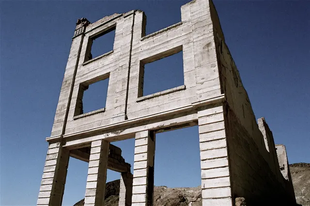
The concrete skeletons of a 1905 gold-rush city at the edge of Death Valley: a three-storey bank, a railway depot and a house built of bottles.
- Coordinates
- 36°54′11″N 116°49′41″W
- Crowds
- Quiet
- Landscape
- Desert
- Best season
- Best in Winter
Symphony of the Stones
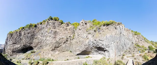
A cliff of hexagonal basalt columns hanging over the Azat River, curved like organ pipes, a short scramble below one of Armenia's most visited temples.
- Coordinates
- 40°07′10″N 44°43′21″E
- Crowds
- Quiet
- Landscape
- Gorge & canyon
- Best season
- Best in Shoulder
El Torcal de Antequera
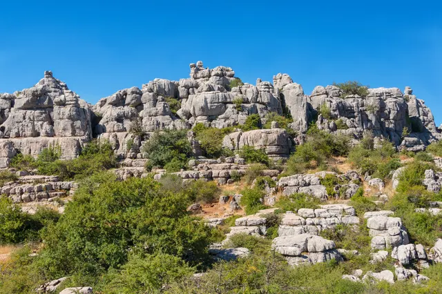
A limestone plateau eroded into a stone city of stacked discs and mushroom pillars, an hour from the Costa del Sol and seen by almost none of its visitors.
- Coordinates
- 36°57′15″N 4°32′40″W
- Crowds
- Some visitors
- Landscape
- Karst & cave
- Best season
- Best in Spring