Bimmah Sinkhole
هوية نجم
Muscat Governorate, Oman · 23°02′10″N 59°04′16″E
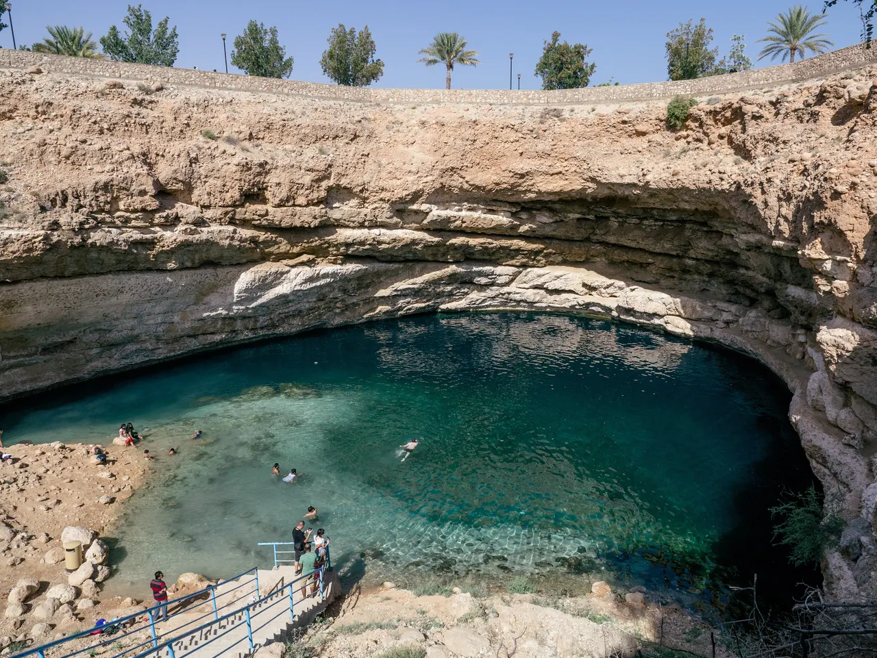
A limestone sinkhole 600 m from the sea, filled with turquoise water where fresh and salt water meet, with steps down from a free municipal park.
The sinkhole formed when the roof of a cave in the coastal limestone collapsed, leaving a bowl 50 by 70 m across and about 20 m deep at the visible surface (divers report it continues much further). Seawater seeps through the rock and mixes with fresh groundwater, which produces the colour. Small fish nibble at swimmers' feet.
Local legend attributes the hole to a meteorite, hence the Arabic name, "the deep well of the falling star".
Why it stays quiet
It sits between Muscat and Sur and gets tour buses briefly around midday. Early morning or after 3 pm it is often empty, and it is free.
Where it is
Before you go
Changing rooms and toilets in the park. Swim only in calm conditions. No shade at midday.
Updated 2026-09-06 · Suggest a correction
More like this
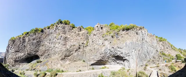
Symphony of the Stones
A cliff of hexagonal basalt columns hanging over the Azat River, curved like organ pipes, a short scramble below one of Armenia's most visited temples.
- Coordinates
- 40°07′10″N 44°43′21″E
- Crowds
- Quiet
- Landscape
- Gorge & canyon
- Best season
- Best in Shoulder
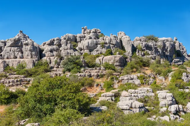
El Torcal de Antequera
A limestone plateau eroded into a stone city of stacked discs and mushroom pillars, an hour from the Costa del Sol and seen by almost none of its visitors.
- Coordinates
- 36°57′15″N 4°32′40″W
- Crowds
- Some visitors
- Landscape
- Karst & cave
- Best season
- Best in Spring
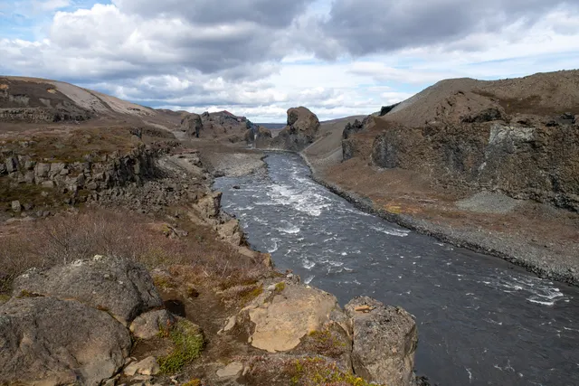
Hljóðaklettar
Twisted columnar basalt formations, the roots of old volcanic craters, scattered along the Jökulsá canyon, where the wind and river echo off the rock.
- Coordinates
- 66°01′30″N 16°30′25″W
- Crowds
- Quiet
- Landscape
- Volcanic
- Best season
- Best in Summer