Hljóðaklettar
Northeastern Region, Iceland · 66°01′30″N 16°30′25″W
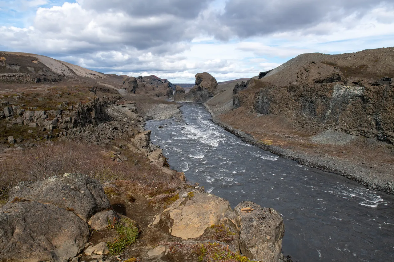
Twisted columnar basalt formations, the roots of old volcanic craters, scattered along the Jökulsá canyon, where the wind and river echo off the rock.
Hljóðaklettar ("Echo Rocks") are the eroded cores of a row of craters that erupted under the Jökulsá á Fjöllum glacial river some 8,000 years ago. The river stripped away the softer material and left plugs of basalt jointed in every direction: fans, whorls and honeycombs rather than the neat verticals seen elsewhere. Kirkjan ("the Church") is a cave whose ceiling is a rosette of columns.
The Rauðhólar red scoria craters lie a further 2 km north on the same trail.
Why it stays quiet
Dettifoss, 30 km south, draws the coaches. Hljóðaklettar needs a gravel road and a walk, so even in July the loop trail is thinly populated.
Where it is
Before you go
The loop is 3 km, rocky in places. Gravel road 862 is closed in winter. No services in Vesturdalur except a campsite.
Updated 2026-09-06 · Suggest a correction
More like this
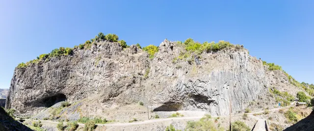
Symphony of the Stones
A cliff of hexagonal basalt columns hanging over the Azat River, curved like organ pipes, a short scramble below one of Armenia's most visited temples.
- Coordinates
- 40°07′10″N 44°43′21″E
- Crowds
- Quiet
- Landscape
- Gorge & canyon
- Best season
- Best in Shoulder
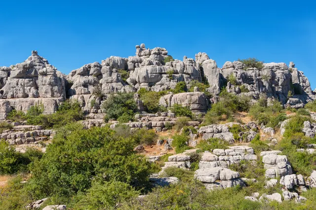
El Torcal de Antequera
A limestone plateau eroded into a stone city of stacked discs and mushroom pillars, an hour from the Costa del Sol and seen by almost none of its visitors.
- Coordinates
- 36°57′15″N 4°32′40″W
- Crowds
- Some visitors
- Landscape
- Karst & cave
- Best season
- Best in Spring
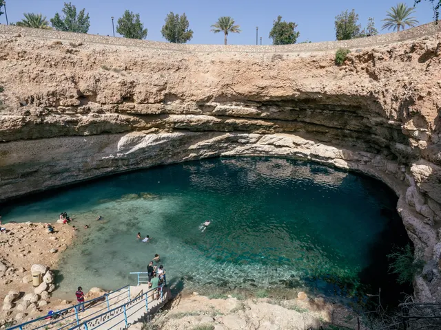
Bimmah Sinkhole
A limestone sinkhole 600 m from the sea, filled with turquoise water where fresh and salt water meet, with steps down from a free municipal park.
- Coordinates
- 23°02′10″N 59°04′16″E
- Crowds
- Some visitors
- Landscape
- Coast
- Best season
- Best in Winter