Charyn Canyon
Шарын шатқалы
Almaty Region, Kazakhstan · 43°21′11″N 79°04′52″E
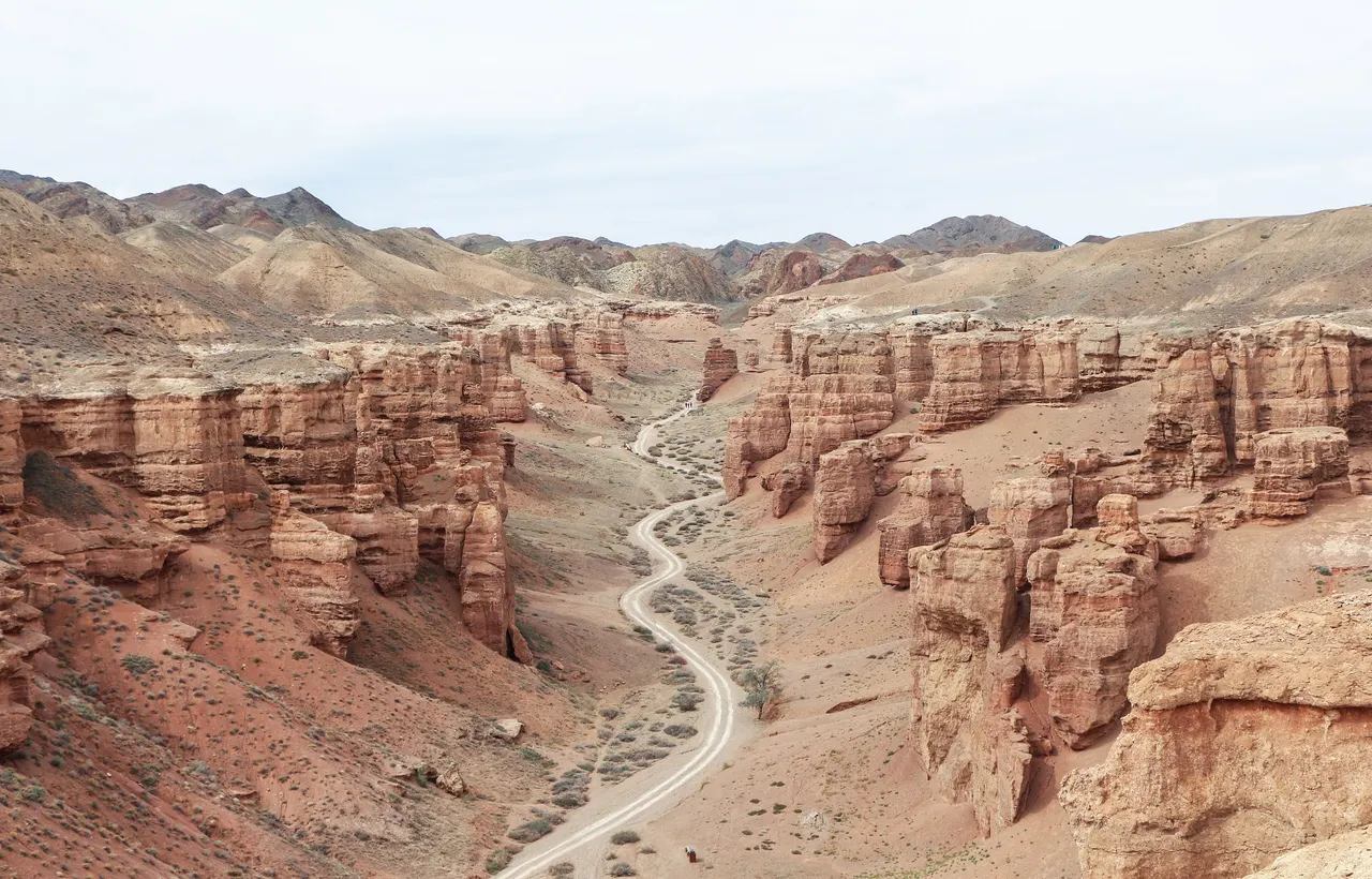
A 90 km canyon in the steppe east of Almaty, whose Valley of Castles is a corridor of red sandstone towers eroded into turrets and arches.
The Charyn River has cut up to 300 m into layered sediments over 12 million years. The Valley of Castles is a 2 km side canyon where the softer red beds have weathered into free-standing pinnacles, and it is where nearly all visitors go. Downstream a relict grove of Sogdian ash trees, survivors of the last ice age, grows along the river.
The canyon rim is at 1,100 m; the floor is hot and still in summer.
Why it stays quiet
Charyn is on Almaty day-trip itineraries but the vast majority of the canyon sees nobody. Walk beyond the Valley of Castles or come midweek and the numbers fall to a handful.
Where it is
Before you go
National park entry fee. No shade in the valley; early start in summer. Basic eco-camp at the river end.
Updated 2026-09-06 · Suggest a correction
More like this
Symphony of the Stones
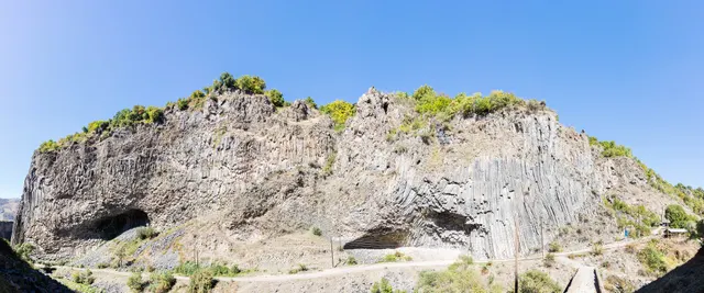
A cliff of hexagonal basalt columns hanging over the Azat River, curved like organ pipes, a short scramble below one of Armenia's most visited temples.
- Coordinates
- 40°07′10″N 44°43′21″E
- Crowds
- Quiet
- Landscape
- Gorge & canyon
- Best season
- Best in Shoulder
El Torcal de Antequera
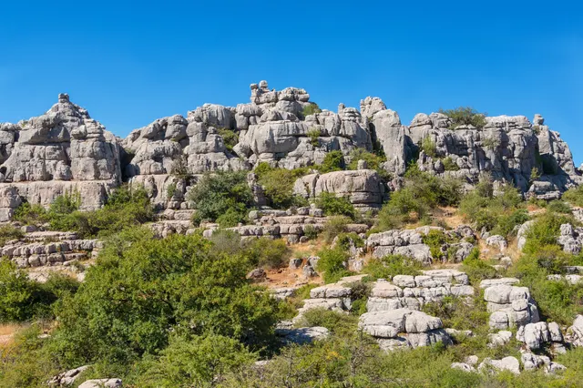
A limestone plateau eroded into a stone city of stacked discs and mushroom pillars, an hour from the Costa del Sol and seen by almost none of its visitors.
- Coordinates
- 36°57′15″N 4°32′40″W
- Crowds
- Some visitors
- Landscape
- Karst & cave
- Best season
- Best in Spring
Bimmah Sinkhole
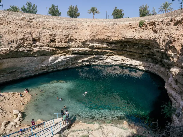
A limestone sinkhole 600 m from the sea, filled with turquoise water where fresh and salt water meet, with steps down from a free municipal park.
- Coordinates
- 23°02′10″N 59°04′16″E
- Crowds
- Some visitors
- Landscape
- Coast
- Best season
- Best in Winter