Hormuz Island
جزیره هرمز
Hormozgan Province, Iran · 27°03′36″N 56°27′36″E
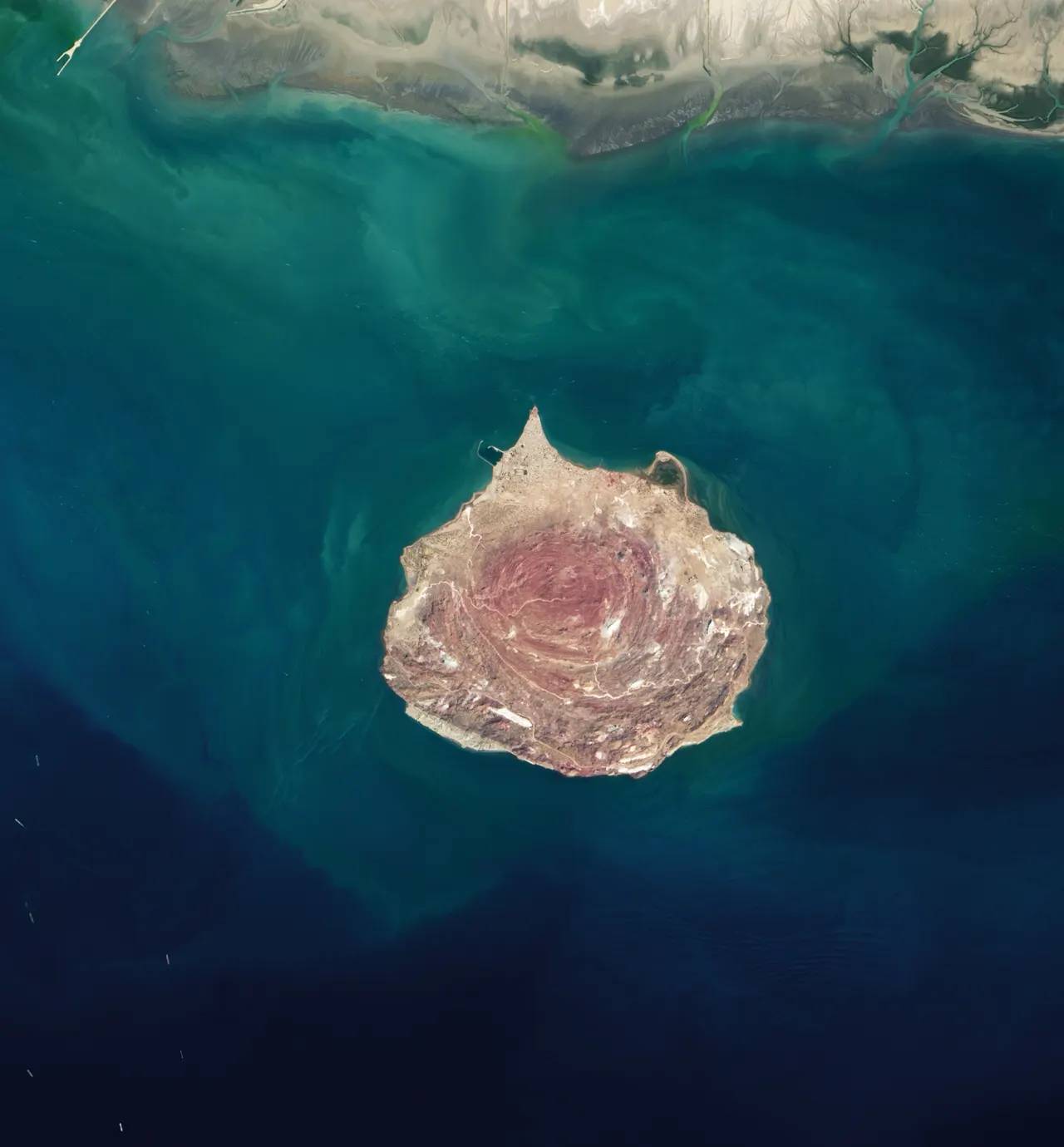
A salt-dome island in the Strait of Hormuz whose soil comes in seventy colours, with a red beach that stains the sea, rainbow valleys and a 16th-century Portuguese fort.
Hormuz is a salt dome pushed up through the seabed, and the salt has brought up iron oxides, clays and minerals that weather into red, ochre, yellow, silver and blue-grey layers. The Red Beach is coloured by hematite; the Rainbow Valley shows a dozen bands in one cliff. Salt caves and the Salt Goddess formation are on the west coast. The Portuguese fort at the north end dates from 1507.
The island is 42 km around; a day by tuk-tuk covers the main sites.
Why it stays quiet
Iranian visitors come during the Nowruz holiday in March. The rest of the cool season the island is quiet, and foreign visitors are rare.
Where it is
Before you go
Check current entry and travel advice for Iran. Hot beyond endurance from May to October. Basic guesthouses in the town.
Updated 2026-09-06 · Suggest a correction
More like this
Symphony of the Stones
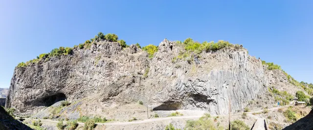
A cliff of hexagonal basalt columns hanging over the Azat River, curved like organ pipes, a short scramble below one of Armenia's most visited temples.
- Coordinates
- 40°07′10″N 44°43′21″E
- Crowds
- Quiet
- Landscape
- Gorge & canyon
- Best season
- Best in Shoulder
El Torcal de Antequera
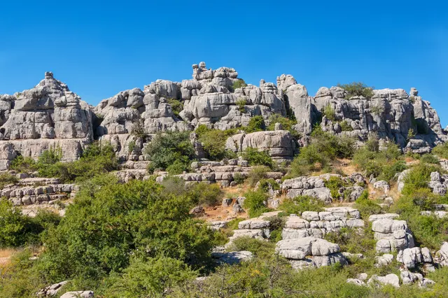
A limestone plateau eroded into a stone city of stacked discs and mushroom pillars, an hour from the Costa del Sol and seen by almost none of its visitors.
- Coordinates
- 36°57′15″N 4°32′40″W
- Crowds
- Some visitors
- Landscape
- Karst & cave
- Best season
- Best in Spring
Bimmah Sinkhole
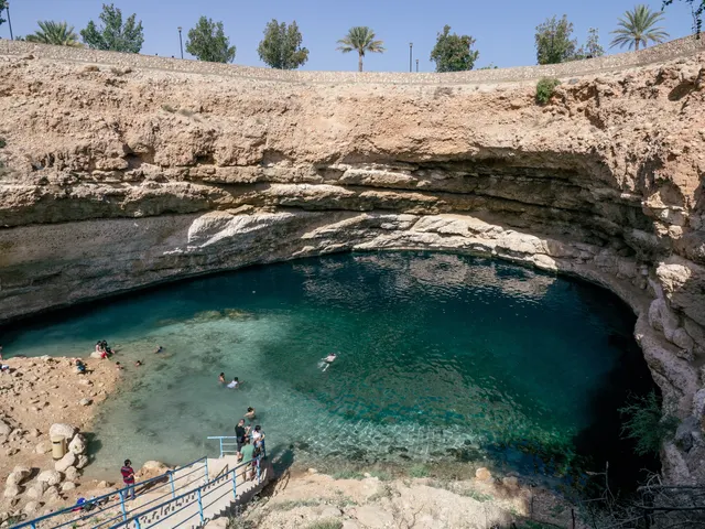
A limestone sinkhole 600 m from the sea, filled with turquoise water where fresh and salt water meet, with steps down from a free municipal park.
- Coordinates
- 23°02′10″N 59°04′16″E
- Crowds
- Some visitors
- Landscape
- Coast
- Best season
- Best in Winter