Richat Structure
قلب الريشات
Adrar Region, Mauritania · 21°07′26″N 11°24′07″W
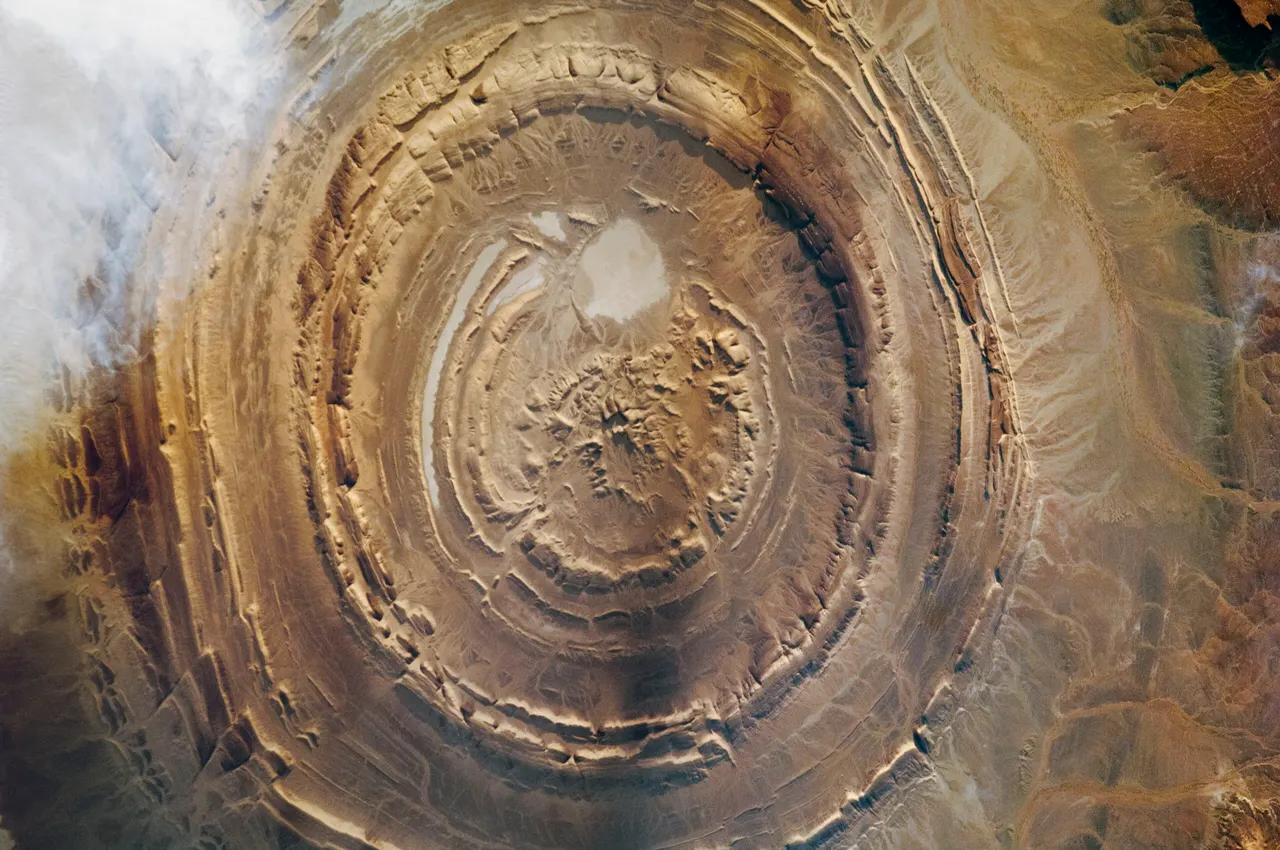
The Eye of the Sahara: a 40 km bullseye of concentric rock rings in the Mauritanian desert, visible from orbit and almost invisible from the ground, which is exactly why hardly anyone goes.
The Richat Structure is a deeply eroded dome, not an impact crater: a bulge of sedimentary rock pushed up by magma, then planed off by 100 million years of erosion so that the harder ring layers stand as concentric ridges. From space it is one of the most recognisable features on Earth. From the ground it is a landscape of low scarps and gravel, and the pattern only makes sense from the rim.
The ancient caravan town of Ouadane, a World Heritage site, lies on the rim to the west.
Why it stays quiet
Getting here requires a guide, a 4x4 and a tolerance for Saharan tracks. Visitors number in the hundreds a year.
Where it is
Before you go
Travel only with an experienced local guide; check current travel advice. Nights are cold in winter. Carry all water.
Updated 2026-09-06 · Suggest a correction
More like this
Symphony of the Stones
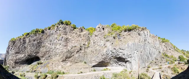
A cliff of hexagonal basalt columns hanging over the Azat River, curved like organ pipes, a short scramble below one of Armenia's most visited temples.
- Coordinates
- 40°07′10″N 44°43′21″E
- Crowds
- Quiet
- Landscape
- Gorge & canyon
- Best season
- Best in Shoulder
El Torcal de Antequera
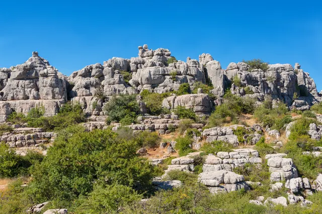
A limestone plateau eroded into a stone city of stacked discs and mushroom pillars, an hour from the Costa del Sol and seen by almost none of its visitors.
- Coordinates
- 36°57′15″N 4°32′40″W
- Crowds
- Some visitors
- Landscape
- Karst & cave
- Best season
- Best in Spring
Bimmah Sinkhole
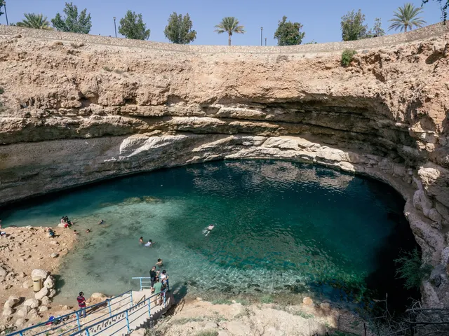
A limestone sinkhole 600 m from the sea, filled with turquoise water where fresh and salt water meet, with steps down from a free municipal park.
- Coordinates
- 23°02′10″N 59°04′16″E
- Crowds
- Some visitors
- Landscape
- Coast
- Best season
- Best in Winter