Vale da Lua
Goiás, Brazil · 14°10′30″S 47°47′46″W
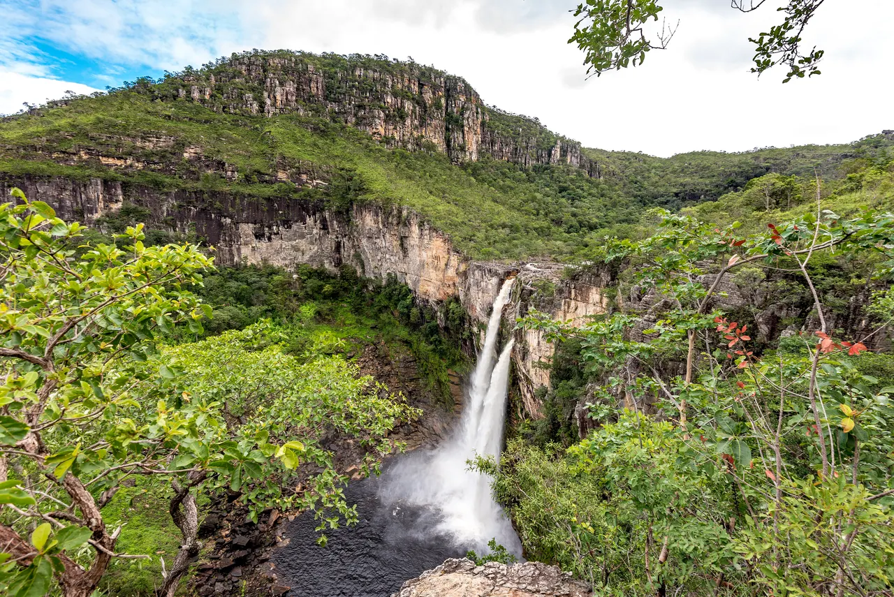
A stretch of the São Miguel river where grey quartzite has been polished into craters, pools and lunar curves.
Over millions of years the river has scoured the quartzite bedrock of the Chapada dos Veadeiros into a channel of smooth bowls, potholes and sculpted ridges that look like a lunar surface, hence the name. The water runs clear through a series of natural pools you can swim in.
The site is on private land at the edge of the national park and charges a small maintenance fee; the wider Chapada has dozens of waterfalls, most requiring a guide.
Why it stays quiet
The Chapada dos Veadeiros gets Brazilian visitors in July; the rest of the year, and on weekday mornings any time, Vale da Lua is quiet.
Where it is
Before you go
Flash floods are a real hazard in the rainy season (October to April); do not enter if it has rained upstream. Wear grip shoes.
Updated 2026-09-06 · Suggest a correction
More like this
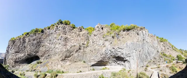
Symphony of the Stones
A cliff of hexagonal basalt columns hanging over the Azat River, curved like organ pipes, a short scramble below one of Armenia's most visited temples.
- Coordinates
- 40°07′10″N 44°43′21″E
- Crowds
- Quiet
- Landscape
- Gorge & canyon
- Best season
- Best in Shoulder
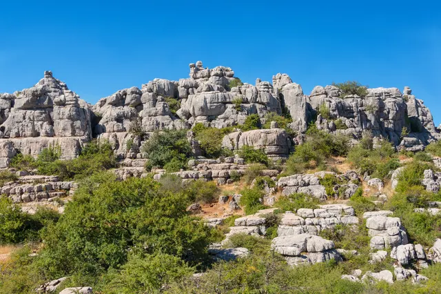
El Torcal de Antequera
A limestone plateau eroded into a stone city of stacked discs and mushroom pillars, an hour from the Costa del Sol and seen by almost none of its visitors.
- Coordinates
- 36°57′15″N 4°32′40″W
- Crowds
- Some visitors
- Landscape
- Karst & cave
- Best season
- Best in Spring
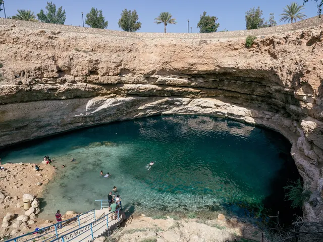
Bimmah Sinkhole
A limestone sinkhole 600 m from the sea, filled with turquoise water where fresh and salt water meet, with steps down from a free municipal park.
- Coordinates
- 23°02′10″N 59°04′16″E
- Crowds
- Some visitors
- Landscape
- Coast
- Best season
- Best in Winter