Barichara
Santander, Colombia · 6°38′07″N 73°13′24″W
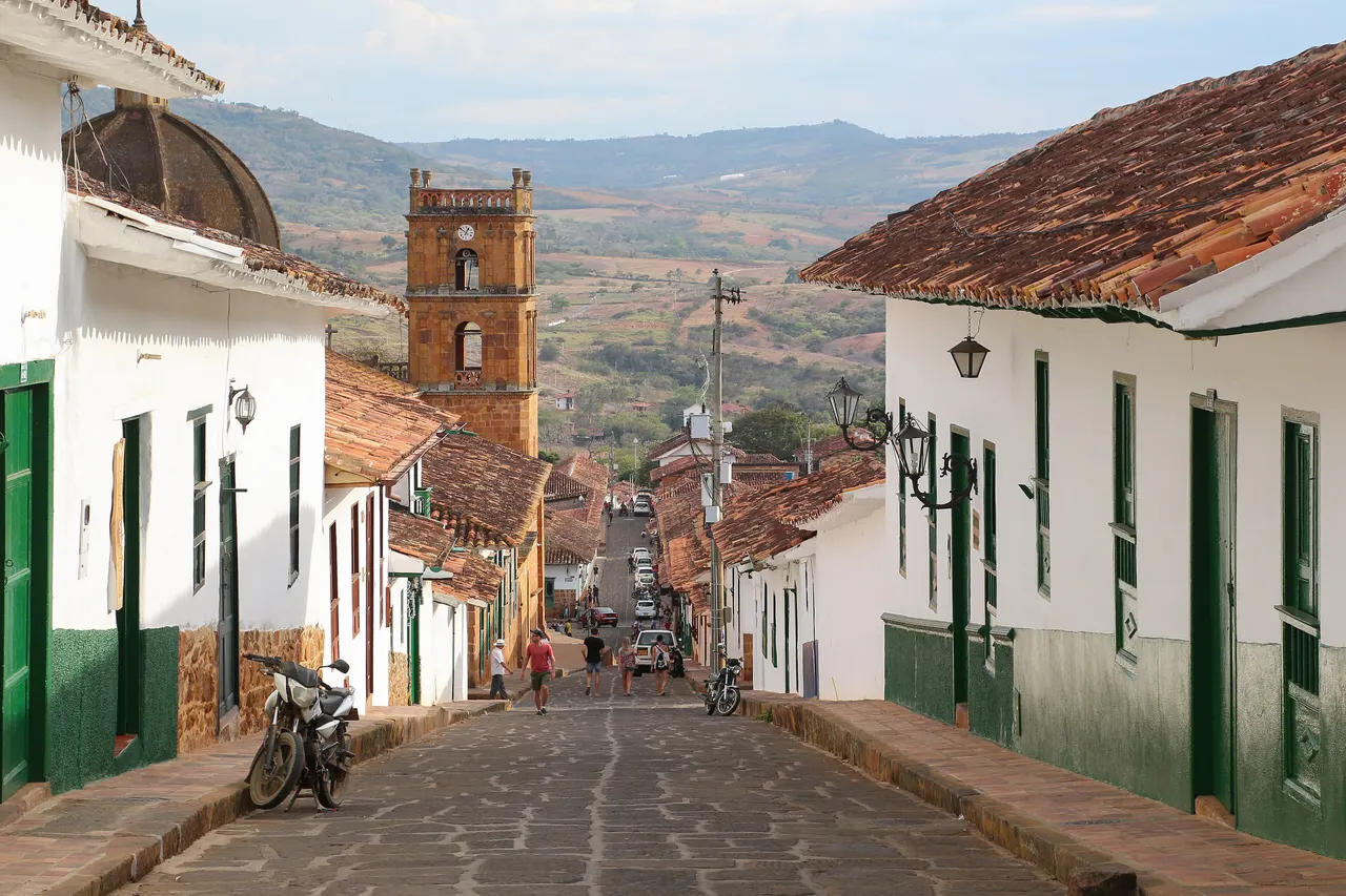
An 18th-century sandstone town on a plateau above the Suárez canyon, so unchanged it is used as a set whenever Colombian cinema needs the past.
Barichara's streets are paved with the same ochre sandstone as its houses, and building regulations have kept it that way since 1978. The town sits on the lip of a plateau; from the cemetery chapel and the Mirador at the end of Calle 6 the ground drops 1,000 m to the Río Suárez.
The Camino Real, a 5.5 km stone mule path rebuilt by a German engineer in the 1860s, descends to the village of Guane in about two hours. It is the best walk in the region and costs nothing.
Why it stays quiet
San Gil, 20 km away, absorbs the adventure-sports crowd. Barichara gets Colombian weekenders but stays quiet midweek, and the Camino Real is rarely shared with more than a few walkers.
Where it is
Before you go
Start the Camino Real early; there is no shade. Sunday is market day in Guane. Altitude is modest but the sun is strong.
Updated 2026-09-06 · Suggest a correction
More like this
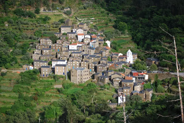
Piódão
A schist village stacked like an amphitheatre into the Serra do Açor, where slate-black houses with blue-painted doors face a single white church.
- Coordinates
- 40°13′47″N 7°49′31″W
- Crowds
- Quiet
- Landscape
- Mountain
- Best season
- Best in Autumn
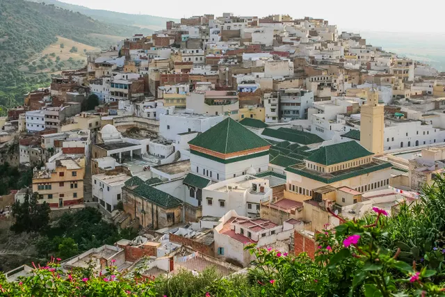
Moulay Idriss Zerhoun
A white hill-town wrapped around two hills above the Roman ruins of Volubilis, holy to Moroccans and almost unvisited by everyone else.
- Coordinates
- 34°03′19″N 5°31′16″W
- Crowds
- Quiet
- Landscape
- Mountain
- Best season
- Best in Spring
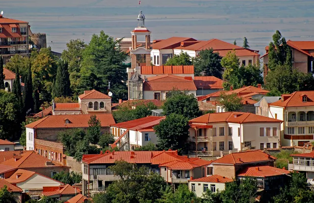
Sighnaghi
An 18th-century walled town on a ridge above the Alazani valley, with the Caucasus as a backdrop and Kakheti's wine villages below.
- Coordinates
- 41°37′10″N 45°55′19″E
- Crowds
- Some visitors
- Landscape
- Plateau & highland
- Best season
- Best in Autumn