Ilha de Moçambique
Nampula Province, Mozambique · 15°02′12″S 40°43′60″E
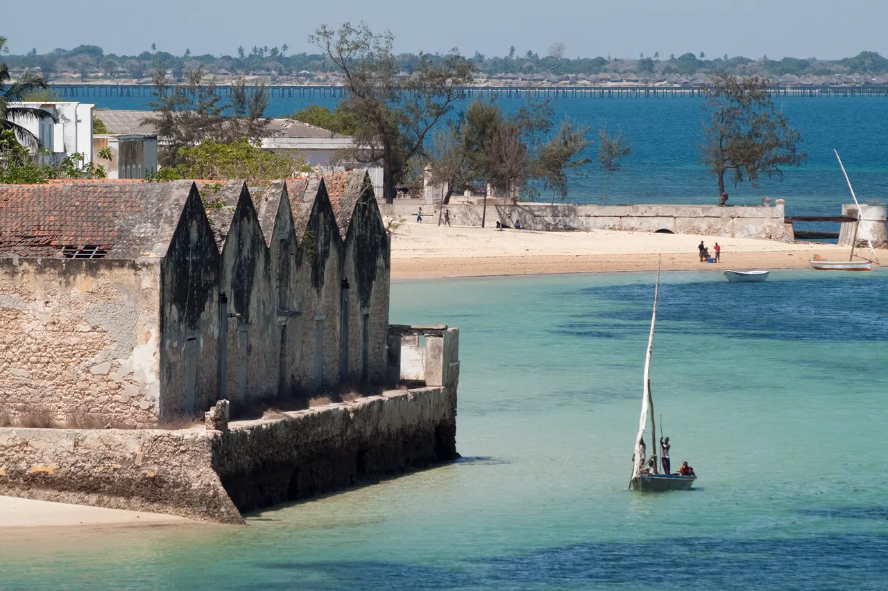
A 3 km coral island that was the capital of Portuguese East Africa for four centuries, its stone town of crumbling mansions and a 16th-century fort now home to fishermen.
The Ilha was Portugal's East African headquarters from 1507 until 1898, and the northern half, the Stone Town, is a grid of lime-washed mansions, churches and the São Sebastião fort, the oldest complete fort in sub-Saharan Africa. The southern half, the Makuti Town, is a dense settlement of reed-roofed houses where most of the island's people live.
The Chapel of Nossa Senhora de Baluarte, 1522, is thought to be the oldest European building in the southern hemisphere.
Why it stays quiet
The island is 170 km of poor road from the nearest airport and has a handful of guesthouses. It is a UNESCO site that receives fewer visitors in a year than Zanzibar sees in a week.
Where it is
Before you go
No ATM that reliably works; bring cash. Dhow trips to the mainland beaches are cheap. Malaria area.
Updated 2026-09-06 · Suggest a correction
More like this
Piódão
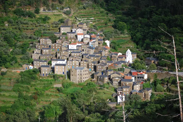
A schist village stacked like an amphitheatre into the Serra do Açor, where slate-black houses with blue-painted doors face a single white church.
- Coordinates
- 40°13′47″N 7°49′31″W
- Crowds
- Quiet
- Landscape
- Mountain
- Best season
- Best in Autumn
Moulay Idriss Zerhoun
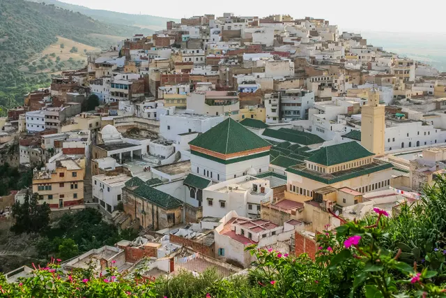
A white hill-town wrapped around two hills above the Roman ruins of Volubilis, holy to Moroccans and almost unvisited by everyone else.
- Coordinates
- 34°03′19″N 5°31′16″W
- Crowds
- Quiet
- Landscape
- Mountain
- Best season
- Best in Spring
Sighnaghi
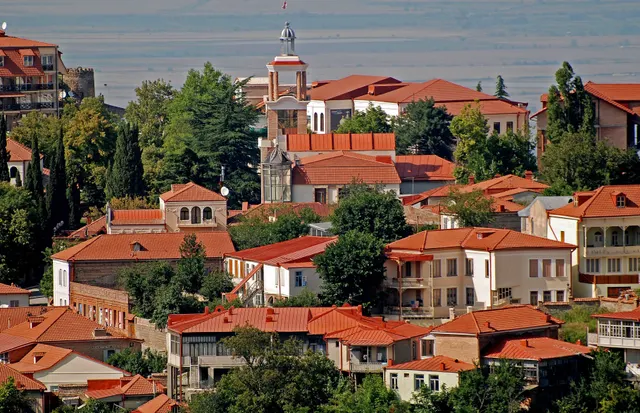
An 18th-century walled town on a ridge above the Alazani valley, with the Caucasus as a backdrop and Kakheti's wine villages below.
- Coordinates
- 41°37′10″N 45°55′19″E
- Crowds
- Some visitors
- Landscape
- Plateau & highland
- Best season
- Best in Autumn