Kampot
កំពត
Kampot Province, Cambodia · 10°36′40″N 104°10′52″E
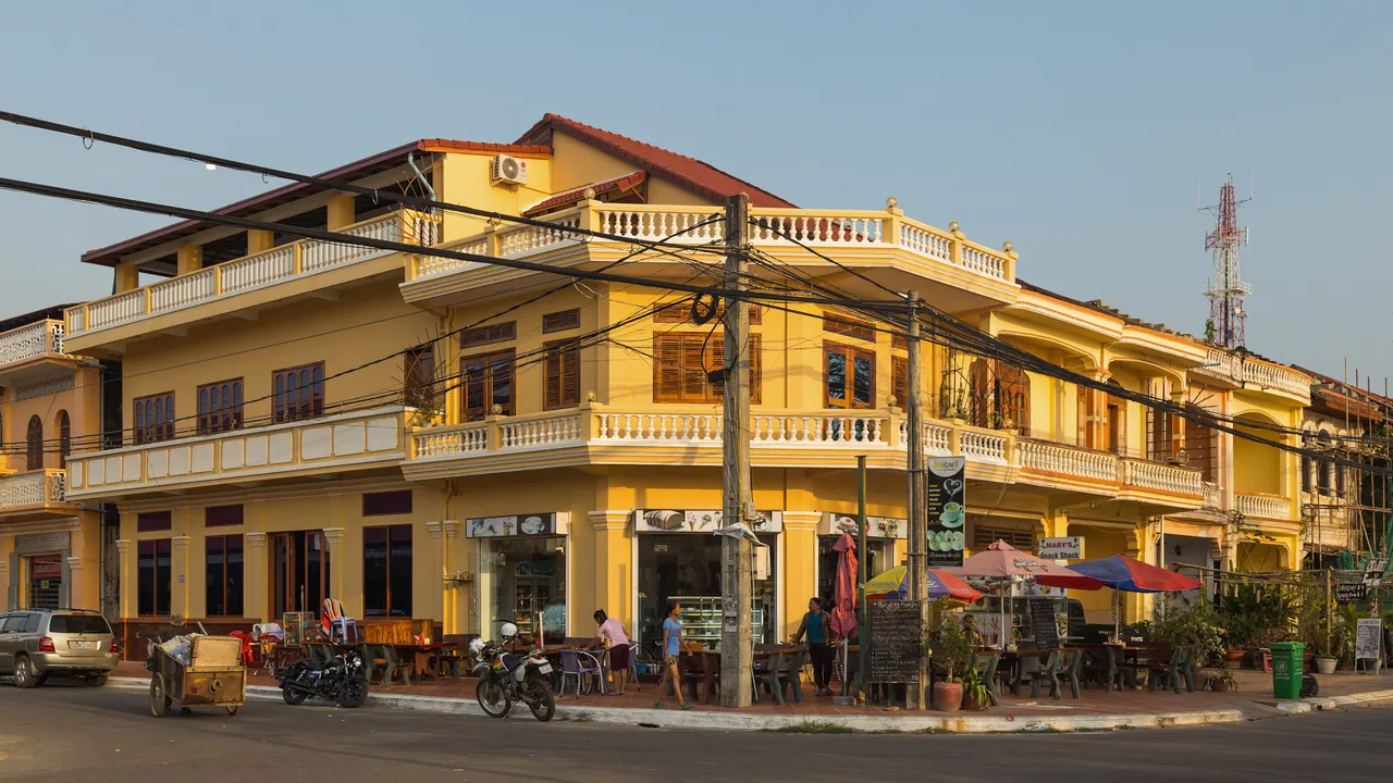
A French colonial river town under the Elephant Mountains, famous for pepper, salt pans and a slow riverfront that Cambodia's beach crowds pass by.
Kampot sits on the Praek Tuek Chhu river a few kilometres from the sea, with Bokor mountain rising 1,000 m behind it. The old town keeps two-storey French shophouses along the river, a 1920s market and the round-about with a giant durian. Around it are the pepper farms that supply Kampot pepper, the first Cambodian product with protected geographical status, and the salt fields toward Kep.
The abandoned French hill station on Bokor, with its shell of a casino, is a 40 km drive up the mountain.
Why it stays quiet
Sihanoukville and the islands take the beach traffic; Kampot draws long-stay foreigners rather than tour groups, and its riverbank is quiet outside the December holiday peak.
Where it is
Before you go
Rent a bicycle or scooter for the pepper farms. Sunset river cruises are cheap. Bokor road is steep; go early to beat cloud.
Updated 2026-09-06 · Suggest a correction
More like this
Piódão
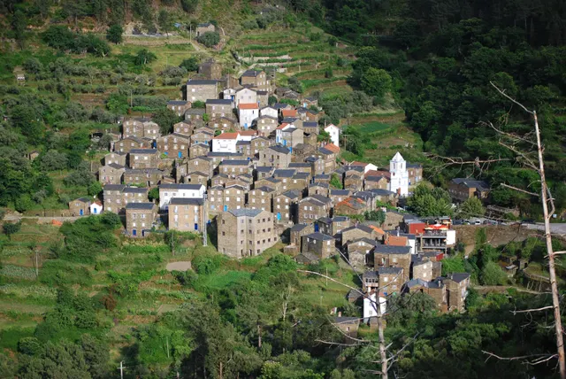
A schist village stacked like an amphitheatre into the Serra do Açor, where slate-black houses with blue-painted doors face a single white church.
- Coordinates
- 40°13′47″N 7°49′31″W
- Crowds
- Quiet
- Landscape
- Mountain
- Best season
- Best in Autumn
Moulay Idriss Zerhoun
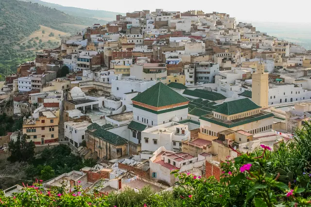
A white hill-town wrapped around two hills above the Roman ruins of Volubilis, holy to Moroccans and almost unvisited by everyone else.
- Coordinates
- 34°03′19″N 5°31′16″W
- Crowds
- Quiet
- Landscape
- Mountain
- Best season
- Best in Spring
Sighnaghi
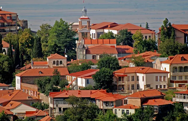
An 18th-century walled town on a ridge above the Alazani valley, with the Caucasus as a backdrop and Kakheti's wine villages below.
- Coordinates
- 41°37′10″N 45°55′19″E
- Crowds
- Some visitors
- Landscape
- Plateau & highland
- Best season
- Best in Autumn