Kirkjubøur
Streymoy, Faroe Islands · 61°57′18″N 6°47′42″W
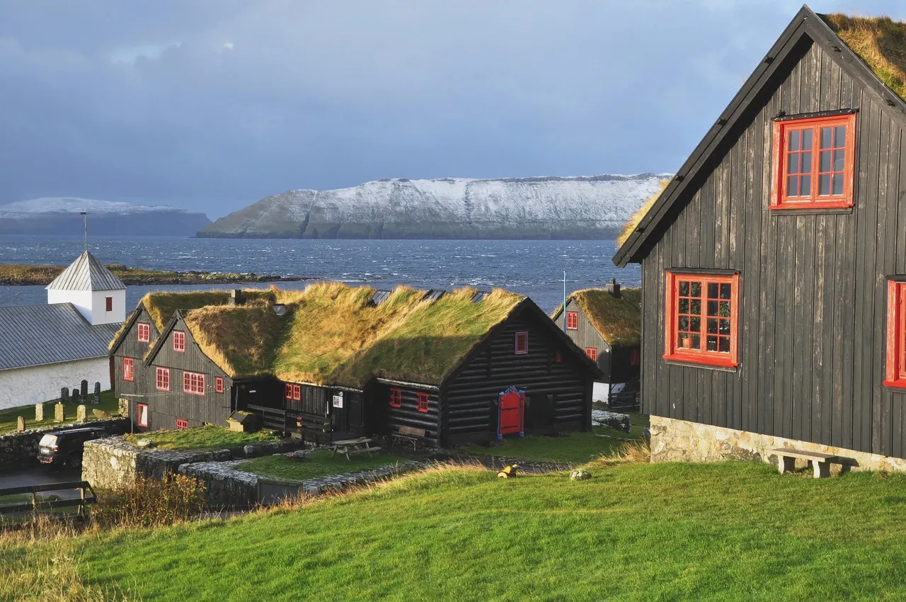
A hamlet of turf-roofed farmhouses on the Faroes' southern shore, once the islands' medieval capital, with a roofless 13th-century cathedral and a farm inhabited by the same family since 1550.
Kirkjubøur was the seat of the Faroese bishops until the Reformation. What remains is the Magnus Cathedral, begun around 1300 and never completed, whose walls stand roofless beside the sea; the whitewashed St Olav's church, still in use since the 12th century; and the Kirkjubøargarður, a wooden farmhouse claimed as the oldest still inhabited in Europe, where the 17th generation of the Patursson family lives.
The farmhouse's roykstova, a log room from around 1100, can be visited on request.
Why it stays quiet
The Faroes' visitors go north for the cliffs and puffins. Kirkjubøur is 15 minutes from the capital and rarely has more than a few people in it.
Where it is
Before you go
The hike from Tórshavn is cairned and easy in clear weather. No shop or café; bring what you need. Weather changes fast.
Updated 2026-09-06 · Suggest a correction
More like this
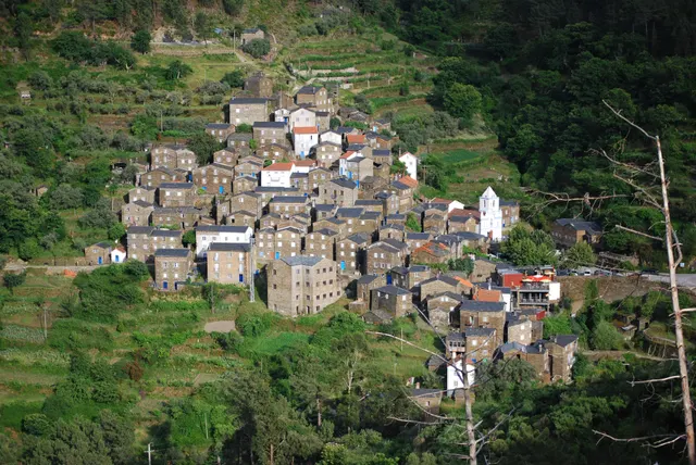
Piódão
A schist village stacked like an amphitheatre into the Serra do Açor, where slate-black houses with blue-painted doors face a single white church.
- Coordinates
- 40°13′47″N 7°49′31″W
- Crowds
- Quiet
- Landscape
- Mountain
- Best season
- Best in Autumn
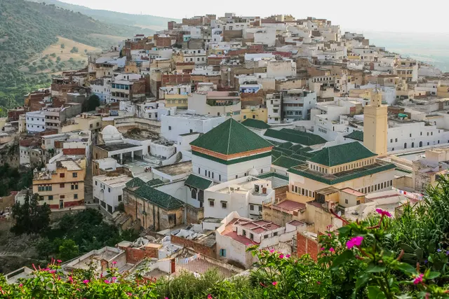
Moulay Idriss Zerhoun
A white hill-town wrapped around two hills above the Roman ruins of Volubilis, holy to Moroccans and almost unvisited by everyone else.
- Coordinates
- 34°03′19″N 5°31′16″W
- Crowds
- Quiet
- Landscape
- Mountain
- Best season
- Best in Spring
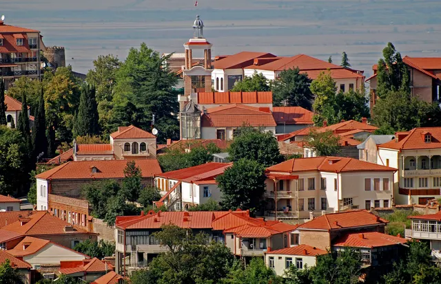
Sighnaghi
An 18th-century walled town on a ridge above the Alazani valley, with the Caucasus as a backdrop and Kakheti's wine villages below.
- Coordinates
- 41°37′10″N 45°55′19″E
- Crowds
- Some visitors
- Landscape
- Plateau & highland
- Best season
- Best in Autumn