Lamu
Lamu County, Kenya · 2°16′18″S 40°54′07″E
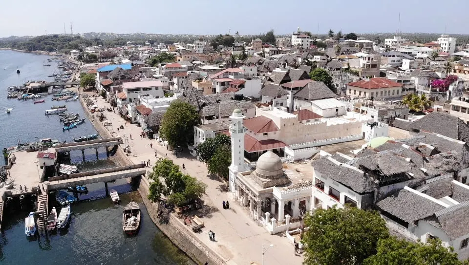
The oldest Swahili town on the East African coast, a maze of coral-stone houses and carved doors reached only by boat, with donkeys for traffic.
Lamu has been a trading port since at least the 14th century, and its old town of narrow lanes, mangrove-pole ceilings and carved Swahili doors is on the World Heritage list. Life runs on the tide and the call to prayer. Dhows still sail to Manda and Pate islands; the 12 km beach at Shela is empty for most of its length.
The town has no cars. Goods move by donkey and by boat, which sets the pace for everything else.
Why it stays quiet
Coastal tourism in Kenya collapsed in the 2010s over security concerns and never fully returned to Lamu, which sits far from the Mombasa resort strip. The old town and Shela see a trickle of visitors outside the November cultural festival.
Where it is
Before you go
Check current travel advice for Lamu County. Dress modestly in town. Dhow trips are negotiated on the waterfront; agree the price first.
Updated 2026-09-06 · Suggest a correction
More like this
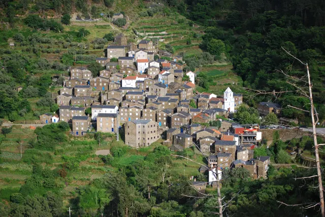
Piódão
A schist village stacked like an amphitheatre into the Serra do Açor, where slate-black houses with blue-painted doors face a single white church.
- Coordinates
- 40°13′47″N 7°49′31″W
- Crowds
- Quiet
- Landscape
- Mountain
- Best season
- Best in Autumn
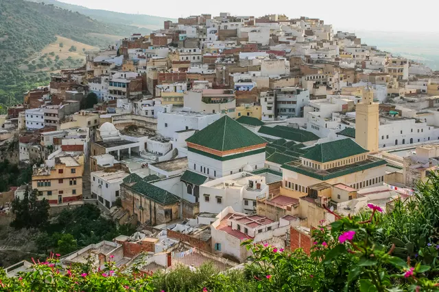
Moulay Idriss Zerhoun
A white hill-town wrapped around two hills above the Roman ruins of Volubilis, holy to Moroccans and almost unvisited by everyone else.
- Coordinates
- 34°03′19″N 5°31′16″W
- Crowds
- Quiet
- Landscape
- Mountain
- Best season
- Best in Spring
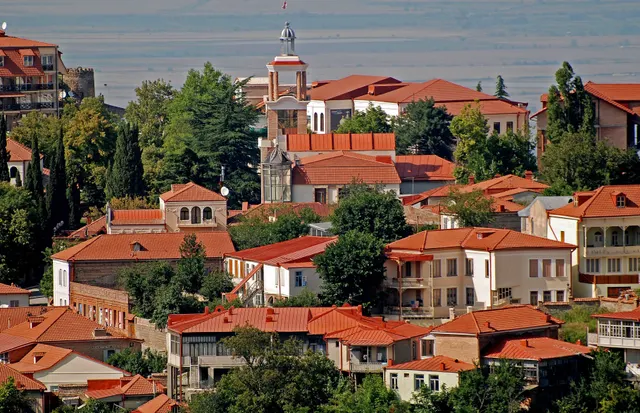
Sighnaghi
An 18th-century walled town on a ridge above the Alazani valley, with the Caucasus as a backdrop and Kakheti's wine villages below.
- Coordinates
- 41°37′10″N 45°55′19″E
- Crowds
- Some visitors
- Landscape
- Plateau & highland
- Best season
- Best in Autumn