Përmet
Gjirokastër County, Albania · 40°14′09″N 20°21′06″E
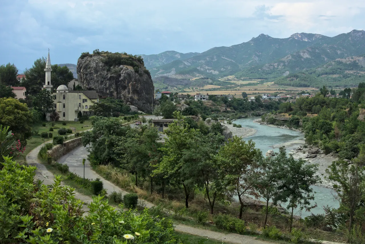
A slow town on the Vjosa, Europe's last big wild river, with a limestone outcrop in the middle of town and Ottoman bath springs 15 minutes away.
Përmet is known in Albania for its roses, gliko fruit preserves and raki, and almost nowhere else. The town sits on the left bank of the Vjosa at the foot of the Dhëmbel range, with the Guri i Qytetit, a lone rock the size of an apartment block, rising from the riverside promenade.
The Vjosa was declared Europe's first wild river national park in 2023, and Përmet is the natural base for it. The Bënjë thermal pools, beneath a single-arch Ottoman bridge on the Lengarica canyon, are the best-known excursion and still free.
Why it stays quiet
Southern Albania's traffic goes to the coast and to Gjirokastër. Përmet is on the road to nowhere in particular and the town has fewer than 10,000 people; even in August it is calm.
Where it is
Before you go
Rafting on the Vjosa runs April to June. Bënjë gets busy at weekends; go on a weekday morning. Cash economy.
Updated 2026-09-06 · Suggest a correction
More like this
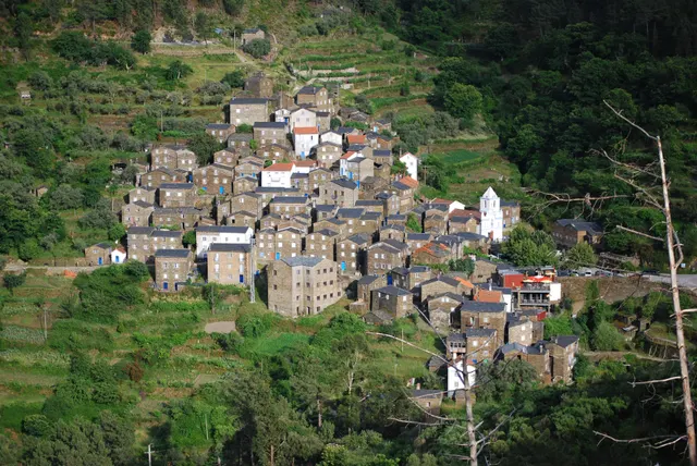
Piódão
A schist village stacked like an amphitheatre into the Serra do Açor, where slate-black houses with blue-painted doors face a single white church.
- Coordinates
- 40°13′47″N 7°49′31″W
- Crowds
- Quiet
- Landscape
- Mountain
- Best season
- Best in Autumn
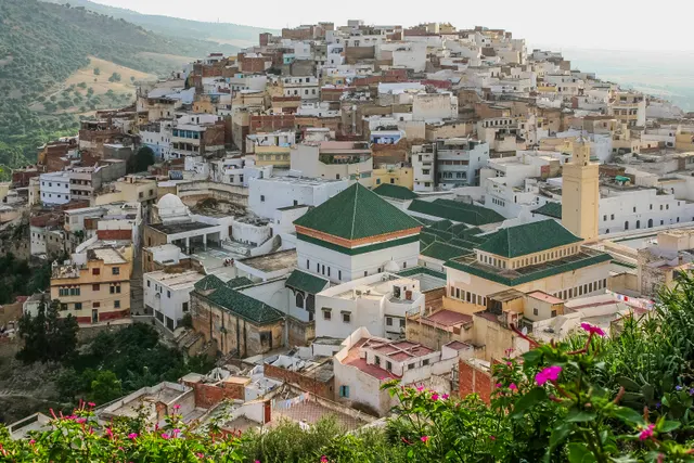
Moulay Idriss Zerhoun
A white hill-town wrapped around two hills above the Roman ruins of Volubilis, holy to Moroccans and almost unvisited by everyone else.
- Coordinates
- 34°03′19″N 5°31′16″W
- Crowds
- Quiet
- Landscape
- Mountain
- Best season
- Best in Spring
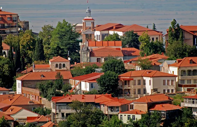
Sighnaghi
An 18th-century walled town on a ridge above the Alazani valley, with the Caucasus as a backdrop and Kakheti's wine villages below.
- Coordinates
- 41°37′10″N 45°55′19″E
- Crowds
- Some visitors
- Landscape
- Plateau & highland
- Best season
- Best in Autumn