Real de Catorce
San Luis Potosí, Mexico · 23°41′26″N 100°53′12″W
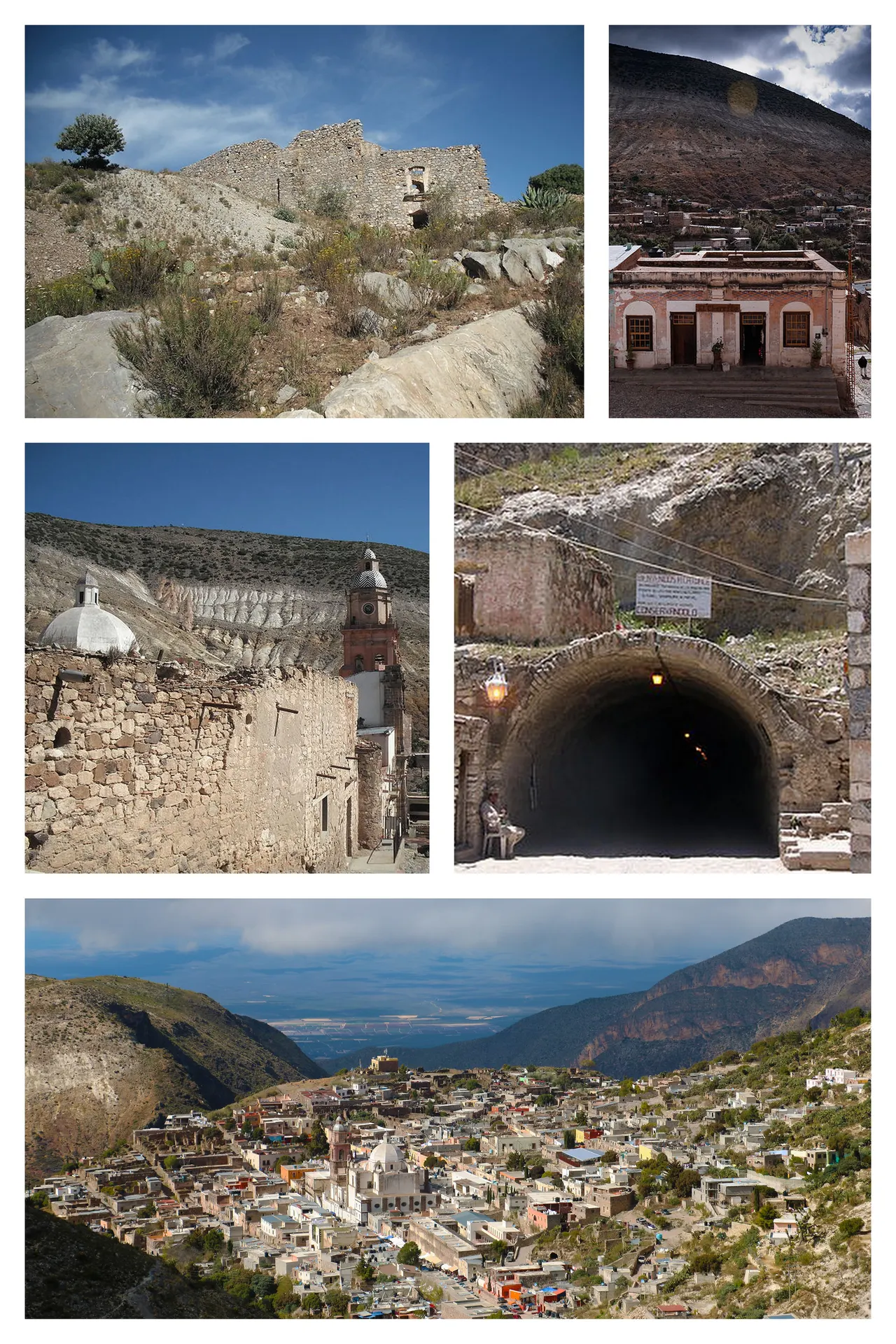
A silver town at 2,750 m reached through a single-lane tunnel, half ruined since the 1900s and now home to a few hundred people, Huichol pilgrims and a lot of silence.
Real de Catorce had 40,000 people at its silver peak in the 1890s and fewer than a thousand by 1910, when the price collapsed. The town on the Sierra de Catorce plateau kept its stone streets, a neoclassical church, a bullring and a mint, with roofless mansions between them. Entry is through the Ogarrio tunnel, cut in 1901.
The Wixárika (Huichol) people make an annual pilgrimage to Wirikuta, the desert below, which is sacred to them; the town is their staging point.
Why it stays quiet
It is three hours from San Luis Potosí on a road most travellers never take. Mexican visitors come on long weekends and Day of the Dead; otherwise the lanes are quiet.
Where it is
Before you go
Nights are cold at this altitude. Horses to the Pueblo Fantasma ruins can be hired in the plaza. Respect Huichol ceremonies; do not photograph them.
Updated 2026-09-06 · Suggest a correction
More like this
Piódão
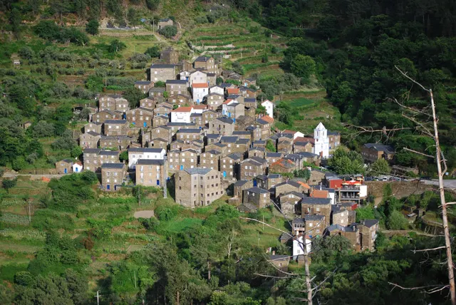
A schist village stacked like an amphitheatre into the Serra do Açor, where slate-black houses with blue-painted doors face a single white church.
- Coordinates
- 40°13′47″N 7°49′31″W
- Crowds
- Quiet
- Landscape
- Mountain
- Best season
- Best in Autumn
Moulay Idriss Zerhoun
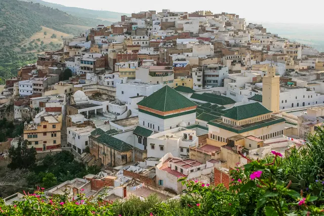
A white hill-town wrapped around two hills above the Roman ruins of Volubilis, holy to Moroccans and almost unvisited by everyone else.
- Coordinates
- 34°03′19″N 5°31′16″W
- Crowds
- Quiet
- Landscape
- Mountain
- Best season
- Best in Spring
Sighnaghi
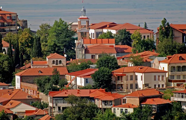
An 18th-century walled town on a ridge above the Alazani valley, with the Caucasus as a backdrop and Kakheti's wine villages below.
- Coordinates
- 41°37′10″N 45°55′19″E
- Crowds
- Some visitors
- Landscape
- Plateau & highland
- Best season
- Best in Autumn