Skip to content
Hidden Earth Atlas

All places

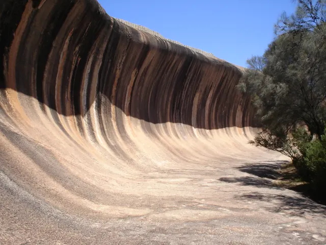
Wave Rock, Rock formation in Western Australia
Geological oddities Australia · Western Australia

Wave Rock

A 15 m granite wave frozen mid-break in the Western Australian wheatbelt, streaked in rust and grey, on the flank of a rock older than most continents.

Coordinates
32°26′37″S 118°53′51″E
Crowds
Quiet
Landscape
Steppe & grassland
Best season
Best in Spring
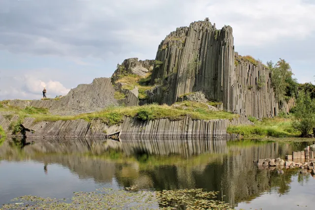
Panská skála, Rock formation in Czechia
Geological oddities Czechia · Ústí nad Labem Region

Panská skála

A basalt "organ" of up to 12 m columns exposed by an old quarry in northern Bohemia, the oldest protected geological site in the country.

Coordinates
50°47′10″N 14°28′12″E
Crowds
Quiet
Landscape
Forest
Best season
Best in Year round
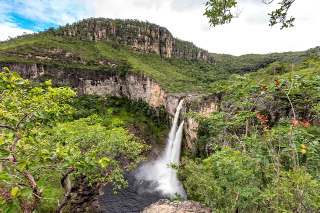
Chapada dos Veadeiros National Park, UNESCO World Heritage Site in Goiás, Brazil
Geological oddities Brazil · Goiás

Vale da Lua

A stretch of the São Miguel river where grey quartzite has been polished into craters, pools and lunar curves.

Coordinates
14°10′30″S 47°47′46″W
Crowds
Some visitors
Landscape
River valley
Best season
Best in Winter
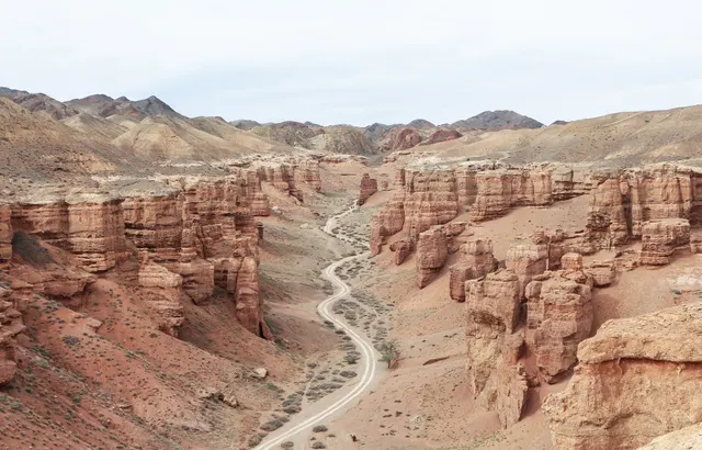
Charyn Canyon, Canyon in Kazakhstan
Geological oddities Kazakhstan · Almaty Region

Charyn Canyon

A 90 km canyon in the steppe east of Almaty, whose Valley of Castles is a corridor of red sandstone towers eroded into turrets and arches.

Coordinates
43°21′11″N 79°04′52″E
Crowds
Some visitors
Landscape
Desert
Best season
Best in Shoulder
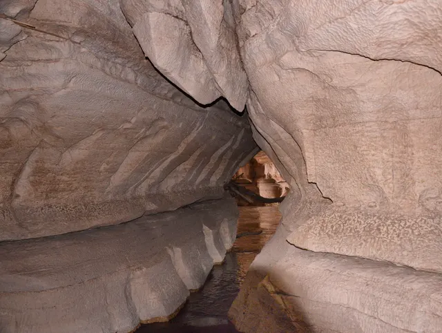
Sof Omar Caves, Longest cave in Ethiopia
Geological oddities Ethiopia · Oromia Region

Sof Omar Caves

One of the longest cave systems in Africa, where the Weyb river disappears into limestone and emerges 1.5 km later through a hall of columns, and a Muslim pilgrimage site for centuries.

Coordinates
6°54′24″N 40°50′48″E
Crowds
Usually empty
Landscape
Karst & cave
Best season
Best in Winter
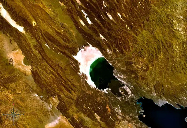
Lake Assal (Djibouti), Salt lake below sea level
Geological oddities Djibouti · Tadjourah Region

Lake Assal

The lowest point in Africa, a lake ten times saltier than the sea, ringed by a blinding crust of salt and black lava at the bottom of the Afar rift.

Coordinates
11°39′21″N 42°24′30″E
Crowds
Usually empty
Landscape
Desert
Best season
Best in Winter
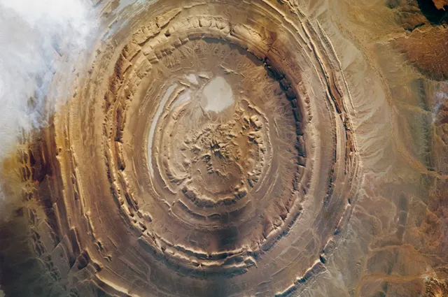
Richat Structure, Circular geological feature in the Sahara desert
Geological oddities Mauritania · Adrar Region

Richat Structure

The Eye of the Sahara: a 40 km bullseye of concentric rock rings in the Mauritanian desert, visible from orbit and almost invisible from the ground, which is exactly why hardly anyone goes.

Coordinates
21°07′26″N 11°24′07″W
Crowds
Usually empty
Landscape
Desert
Best season
Best in Winter
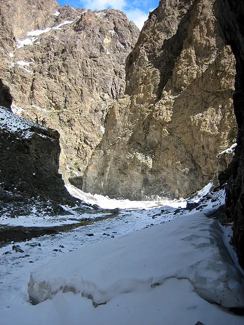
Yolyn Am, Canyon in Mongolia
Geological oddities Mongolia · Ömnögovi Province

Yolyn Am

A narrow gorge in the Gobi where a field of ice survives most of the summer in the shade of 200 m walls, with lammergeiers overhead and pikas underfoot.

Coordinates
43°29′36″N 104°04′04″E
Crowds
Quiet
Landscape
Mountain
Best season
Best in Summer
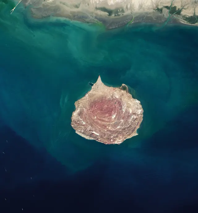
Hormuz Island, Iranian island in the Persian Gulf
Geological oddities Iran · Hormozgan Province

Hormuz Island

A salt-dome island in the Strait of Hormuz whose soil comes in seventy colours, with a red beach that stains the sea, rainbow valleys and a 16th-century Portuguese fort.

Coordinates
27°03′36″N 56°27′36″E
Crowds
Quiet
Landscape
Island
Best season
Best in Winter
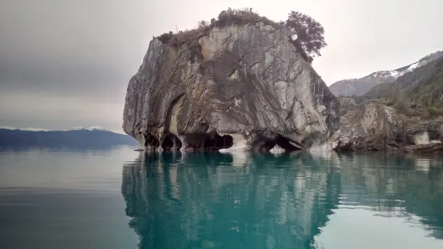
Swirled marble caverns above the blue water of General Carrera lake
Geological oddities Chile · Aysén Region

Marble Caves

Caverns of swirled blue-and-white marble carved by waves into the shore of General Carrera lake, reached by small boat from a village on the Carretera Austral.

Coordinates
46°37′18″S 72°37′00″W
Crowds
Quiet
Landscape
Karst & cave
Best season
Best in Summer
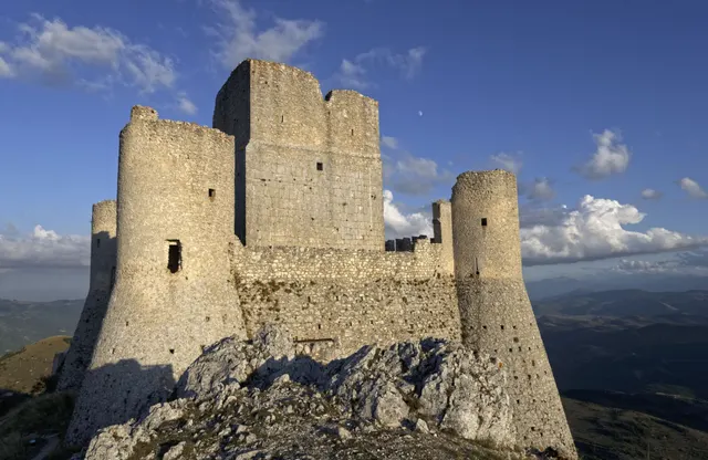
Ruined stone towers of Rocca Calascio on a ridge above the Apennine plateau
Forgotten ruins Italy · Abruzzo

Rocca Calascio

One of the highest fortresses in the Apennines: a roofless 10th-century watchtower and ring walls on a bare limestone ridge at 1,460 m, free and open day and night.

Coordinates
42°19′42″N 13°41′54″E
Crowds
Quiet
Landscape
Plateau & highland
Best season
Best in Summer
Sijilmasa, Historical Medieval city in Morocco
Forgotten ruins Morocco · Drâa-Tafilalet

Sijilmasa

The mud-brick remains of the medieval trade capital that funnelled Saharan gold to the Mediterranean, now a field of eroded walls outside Rissani that nobody guards.

Coordinates
31°16′60″N 4°16′60″W
Crowds
Usually empty
Landscape
Desert
Best season
Best in Winter