Piódão
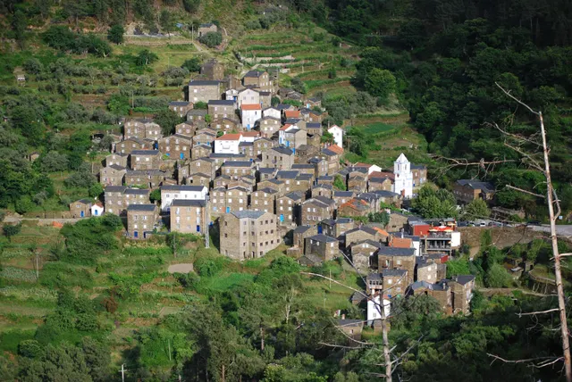
A schist village stacked like an amphitheatre into the Serra do Açor, where slate-black houses with blue-painted doors face a single white church.
- Coordinates
- 40°13′47″N 7°49′31″W
- Crowds
- Quiet
- Landscape
- Mountain
- Best season
- Best in Autumn
A schist village stacked like an amphitheatre into the Serra do Açor, where slate-black houses with blue-painted doors face a single white church.
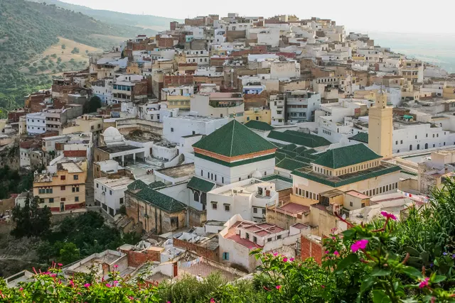
A white hill-town wrapped around two hills above the Roman ruins of Volubilis, holy to Moroccans and almost unvisited by everyone else.
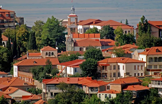
An 18th-century walled town on a ridge above the Alazani valley, with the Caucasus as a backdrop and Kakheti's wine villages below.
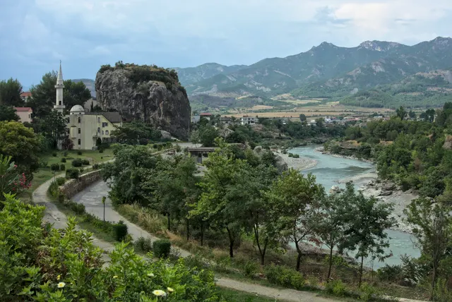
A slow town on the Vjosa, Europe's last big wild river, with a limestone outcrop in the middle of town and Ottoman bath springs 15 minutes away.
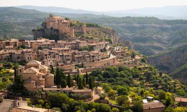
A medieval village on a limestone spur above the Vero canyon, with walkways bolted to the gorge walls and Palaeolithic rock art in the caves.
A wooden-and-brick 17th-century town in western Latvia with the widest waterfall in Europe running right through it, listed by UNESCO in 2023 and still overlooked.
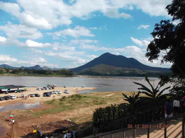
A single street of teak shophouses along the Mekong opposite Laos, where morning alms rounds and river mist are the events of the day.
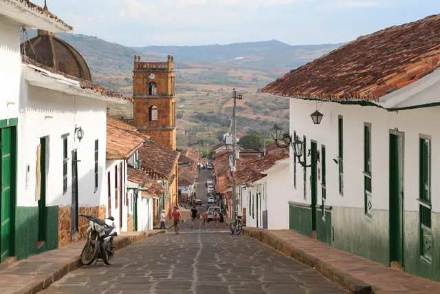
An 18th-century sandstone town on a plateau above the Suárez canyon, so unchanged it is used as a set whenever Colombian cinema needs the past.
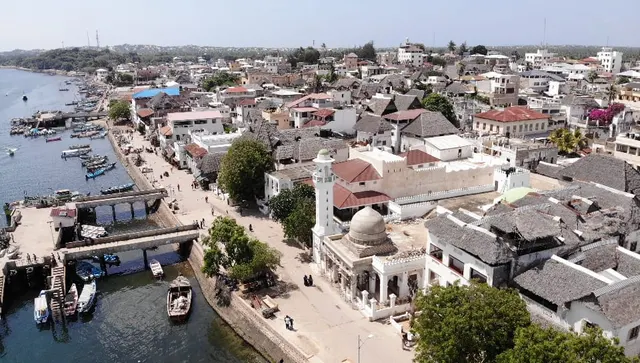
The oldest Swahili town on the East African coast, a maze of coral-stone houses and carved doors reached only by boat, with donkeys for traffic.
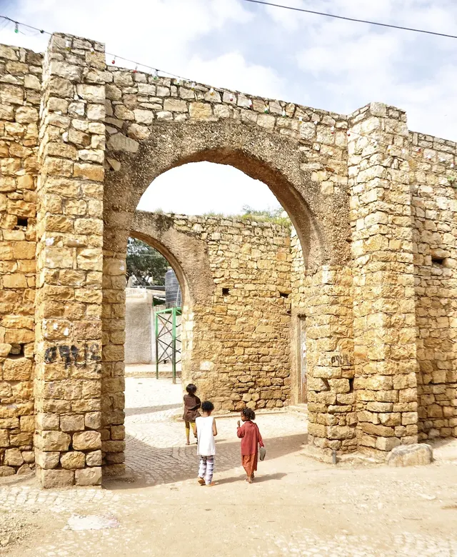
A 16th-century walled city of 82 mosques and 360 lanes, where hyenas are hand-fed at the gates every night and the coffee is among the best on Earth.
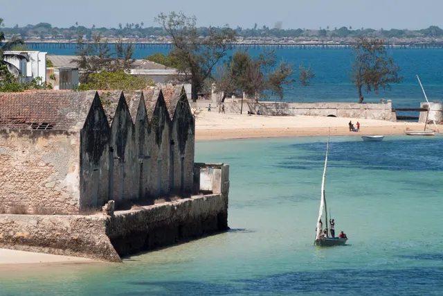
A 3 km coral island that was the capital of Portuguese East Africa for four centuries, its stone town of crumbling mansions and a 16th-century fort now home to fishermen.
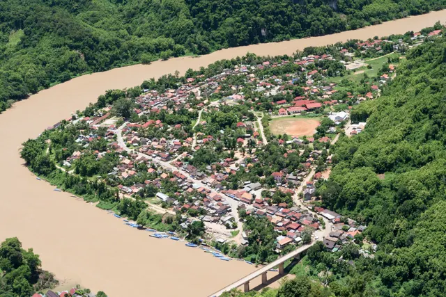
A village on the Nam Ou river hemmed in by limestone karst towers, where the view from the Pha Daeng peak trail takes in the whole valley.